


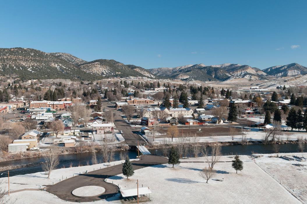
Gallery


Map and nearest places
| Longitude | Latitude |
|---|---|
| 40.0394444444444 | -107.910833333333 |
| 40°2'0"N | 107°54'0"W |
| Nearest places | ||
|---|---|---|
| Meeker Airport | 2.4km | |
| Rifle | 56.9km | |
| Garfield County Regional Airport | 59.2km | |
| Craig-Moffat Airport | 60.5km | |
| Craig | 61.3km | |
| Rangley Airport | 72.8km | |
| Glenwood Springs | 74.2km | |
| Hayden | 75.1km | |
| Rangley | 75.7km | |
| Yampa Valley Airport | 76.6km | |
| Glenwood Springs Municipal Airport | 78.5km | |
| Carbondale | 93.2km | |
| John Paul II International Airport | 8,770.6km | |
| Sir Gaëtan Duval Airport | 17,611.2km | |

Restaurants
Airports
Weblinks
Comments
On 01-04-2020 13:13 Jerzy said:
There are 156.32 miles from Meeker to Denver in east direction and 225 miles (362.10 kilometers) by car, following the I-70 E route.Meeker and Denver are 3 hours 59 mins far apart, if you drive non-stop.
You need to log in to add comment
There are 156.32 miles from Meeker to Denver in east direction and 225 miles (362.10 kilometers) by car, following the I-70 E route.Meeker and Denver are 3 hours 59 mins far apart, if you drive non-stop.
You need to log in to add comment