


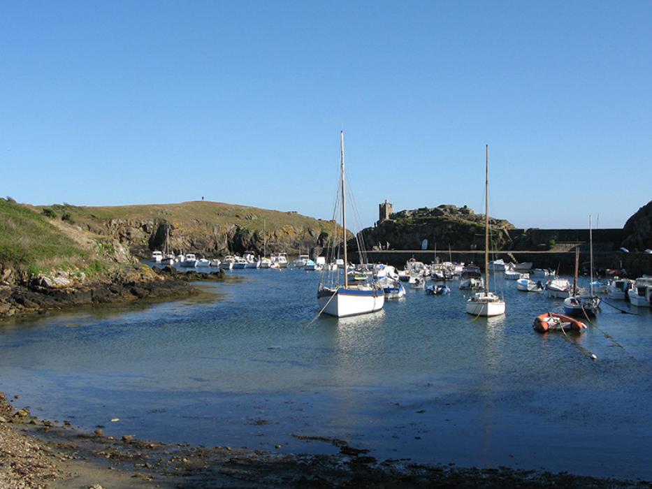
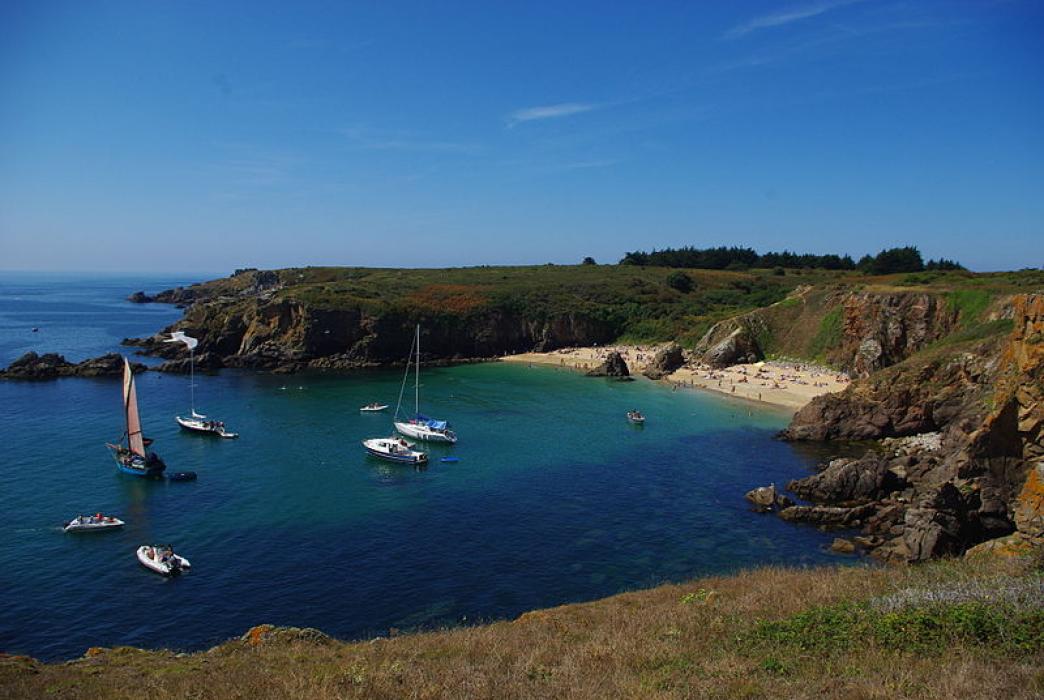
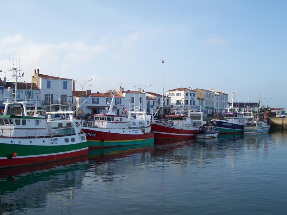


Map and nearest places
| Longitude | Latitude |
|---|---|
| 46.725 | -2.347 |
| 46°43'0"N | 2°20'0"W |
| Nearest places | ||
|---|---|---|
| Ile d'Yeu Aerodrome | 3.4km | |
 | St-Jean-de-Monts | 23.2km |
 | Saint Gilles Croix de Vie | 31.2km |
 | Noirmoutier | 31.9km |
 | Challans | 38.2km |
 | Pornic | 47.4km |
 | Les Sables-d'Olonne | 50.0km |
| St Nazaire Airport | 67.0km | |
| Nantes Atlantique Airport | 73.4km | |
| Less Ajoncs Airport | 73.9km | |
| La Rochelle - Ile de Re Airport | 107.1km | |
| Vannes - Golfe du Morbihan Airport | 114.1km | |
| John Paul II International Airport | 1,669.2km | |
| Christchurch International Airport | 19,475.9km | |
Airports
Weblinks
Comments
You need to log in to add comment