


_1282268373_700.jpg)
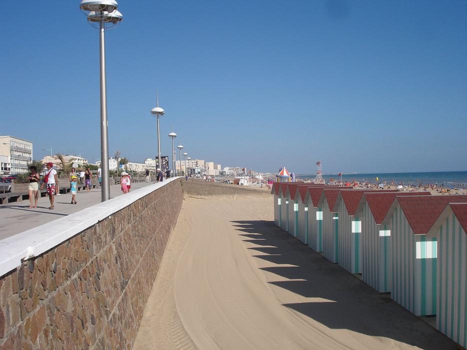


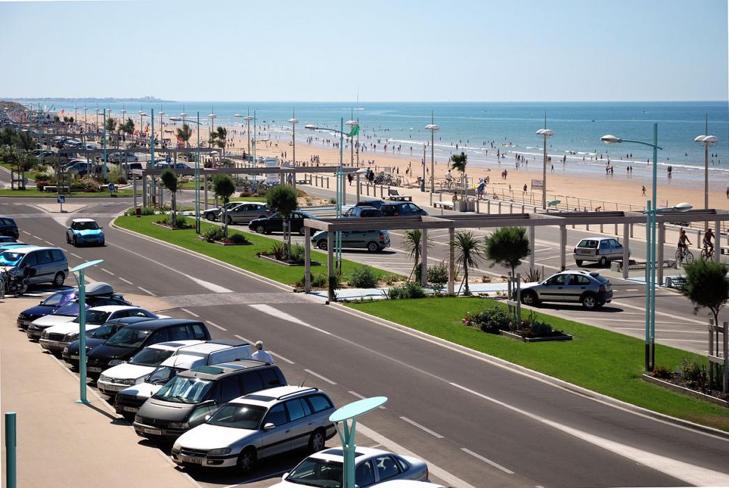
Map and nearest places
| Longitude | Latitude |
|---|---|
| 46.7936111111111 | -2.05888888888889 |
| 46°47'0"N | 2°3'0"W |
| Nearest places | ||
|---|---|---|
 | Saint Gilles Croix de Vie | 14.0km |
 | Challans | 15.0km |
 | Ile d Yeu | 23.2km |
| Ile d'Yeu Aerodrome | 26.6km | |
 | Noirmoutier | 27.7km |
 | Pornic | 36.1km |
 | Les Sables-d'Olonne | 39.1km |
| Nantes Atlantique Airport | 52.5km | |
| Less Ajoncs Airport | 52.8km | |
| St Nazaire Airport | 58.1km | |
| La Rochelle - Ile de Re Airport | 95.1km | |
| Cholet - Le Pontreau Airport | 95.3km | |
| John Paul II International Airport | 1,645.9km | |
| Tuuta Airport | 19,465.8km | |
Weblinks
Comments
You need to log in to add comment