


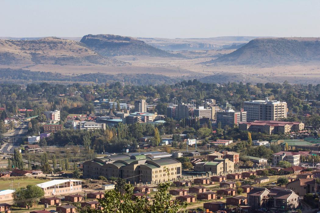
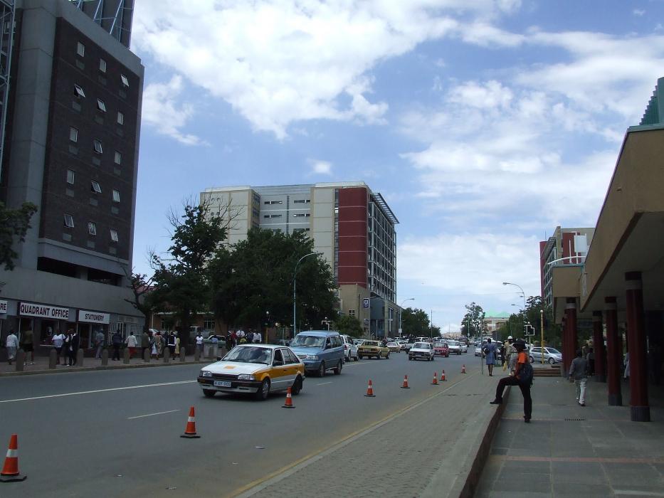
Gallery


Map and nearest places
| Longitude | Latitude |
|---|---|
| -29.31 | 27.48 |
| 29°18'0"S | 27°28'0"E |
| Nearest places | ||
|---|---|---|
| Moshoeshoe I International Airport | 18.3km | |
| Bloemfontein Airport | 116.7km | |
 | Bloemfontein | 124.5km |
| Clarens | 126.9km | |
| Welkom | 165.1km | |
| Welkom Airport | 165.9km | |
| Nottingham Road | 244.3km | |
| Howick | 267.3km | |
| Kimberley Airport | 269.8km | |
| Kimberley | 270.8km | |
| Umtata airport | 273.9km | |
| Pietermaritzburg Airport | 285.0km | |
| John Paul II International Airport | 8,860.2km | |
| Kalaupapa Airport | 19,009.6km | |
Airports
Comments
You need to log in to add comment