


Map and nearest places
| Longitude | Latitude |
|---|---|
| 39.478889 | -88.373056 |
| 39°28'0"N | 88°22'0"W |
| Nearest places | ||
|---|---|---|
| Coles County Memorial Airport | 8.1km | |
| Arcola | 23.5km | |
| Decatur Airport | 57.8km | |
| University of Illinois Willard Airport | 62.8km | |
| Decatur | 64.1km | |
| Savoy | 65.8km | |
| Champaign | 71.2km | |
| Urbana | 71.6km | |
| Terre Haute | 84.4km | |
| Terre Haute International Airport | 91.5km | |
| Lawrenceville-Vincennes International Airport | 103.4km | |
| Vermilion County Airport | 104.1km | |
| John Paul II International Airport | 7,843.1km | |
| Busselton Regional Airport | 17,805.0km | |
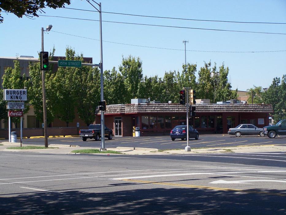
Restaurants
Golfs club
Airports
Weblinks
Comments
You need to log in to add comment