


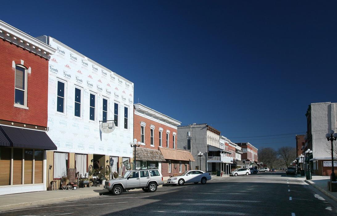
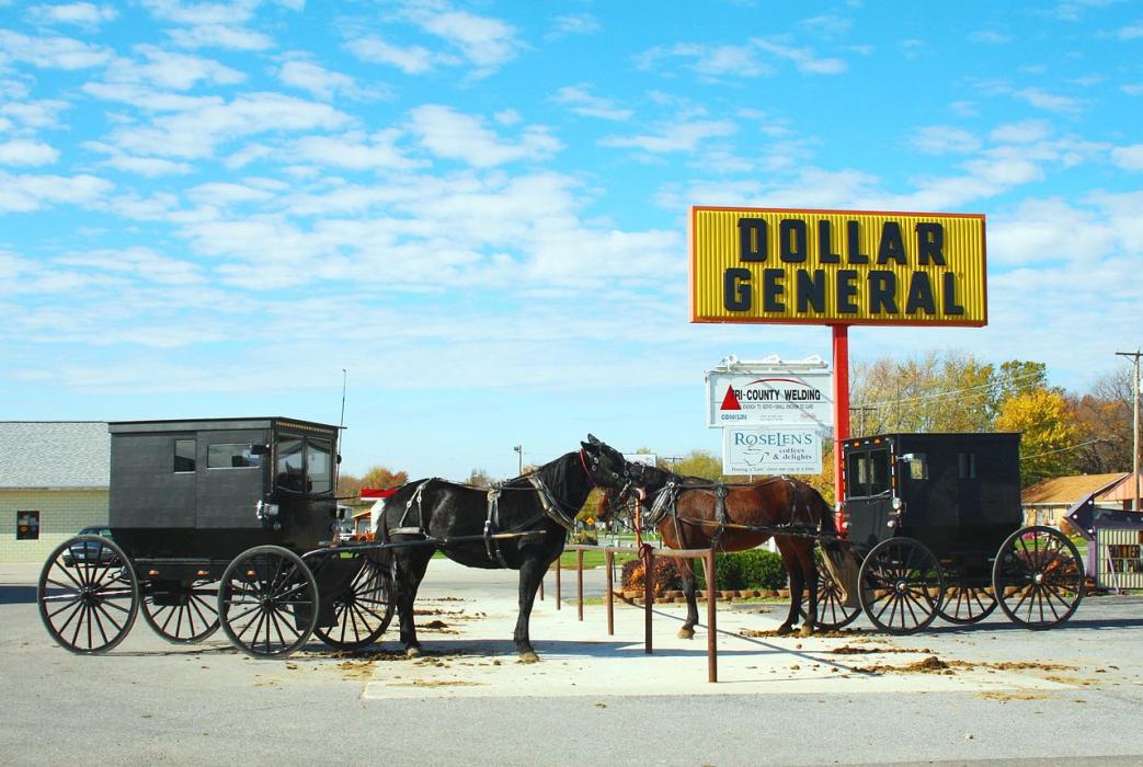
Gallery


Map and nearest places
| Longitude | Latitude |
|---|---|
| 39.683611 | -88.305833 |
| 39°41'0"N | 88°18'0"W |
| Nearest places | ||
|---|---|---|
| Coles County Memorial Airport | 23.0km | |
| Mattoon | 23.5km | |
| University of Illinois Willard Airport | 39.6km | |
| Savoy | 42.5km | |
| Champaign | 47.9km | |
| Urbana | 48.2km | |
| Decatur Airport | 50.7km | |
| Decatur | 57.7km | |
_539248572_16.jpg) | Danville | 75.7km |
| Vermilion County Airport | 83.4km | |
| Terre Haute International Airport | 89.4km | |
| Central Illinois Regional Airport | 102.4km | |
| John Paul II International Airport | 7,822.0km | |
| Busselton Regional Airport | 17,806.9km | |
Restaurants
Golfs club
Weblinks
Comments
You need to log in to add comment