


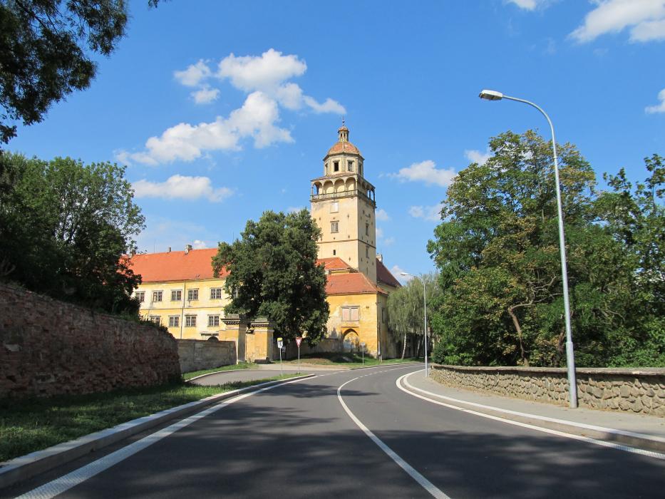
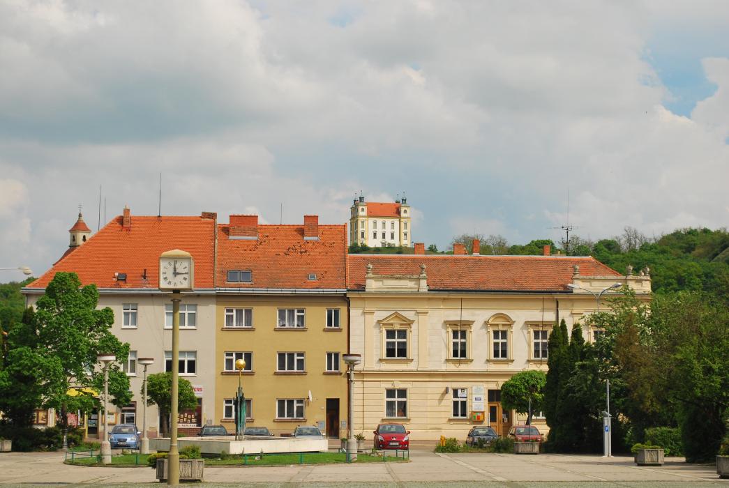
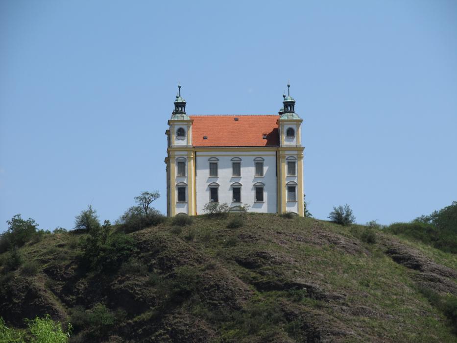


Map and nearest places
| Longitude | Latitude |
|---|---|
| 49.044444 | 16.309722 |
| 49°2'0"N | 16°18'0"E |
| Nearest places | ||
|---|---|---|
 | Ivančice | 8.0km |
 | Pohořelice | 17.2km |
 | Namest nad Oslavou | 22.4km |
 | Drnholec | 23.4km |
 | Pasohlávky | 24.1km |
 | Brno | 28.3km |
| Brno-Turany Airport | 30.4km | |
| Dobersberg Airport | 75.1km | |
| Kunovice Airport | 82.4km | |
| Krems Airport | 82.9km | |
| Vienna Schwechat International Airport | 105.6km | |
| Pardubice Airport | 115.4km | |
| John Paul II International Airport | 275.7km | |
| Tuuta Airport | 18,878.7km | |
Accomodation
Restaurants
Weblinks
Comments
You need to log in to add comment