


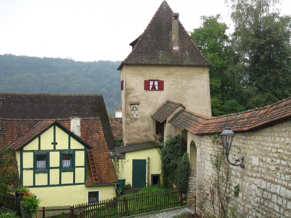
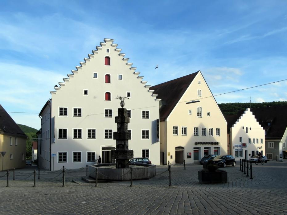


Map and nearest places
| Longitude | Latitude |
|---|---|
| 49.051944 | 11.360556 |
| 49°3'0"N | 11°21'0"E |
| Nearest places | ||
|---|---|---|
| Titting | 12.0km | |
 | Eichstatt | 22.8km |
 | Beilngries | 27.6km |
 | Pleinfeld | 29.2km |
 | Hemau | 30.8km |
 | Pappenheim | 31.0km |
| Ingolstadt Airport | 39.5km | |
| Nuremberg Airport | 53.8km | |
| Augsburg Airport | 76.3km | |
| Landshut Airport | 77.7km | |
| Franz Josef Straus International Airport | 83.6km | |
| Bayreuth Airport | 105.8km | |
| John Paul II International Airport | 617.8km | |
| Tuuta Airport | 19,180.0km | |
Weblinks
Comments
You need to log in to add comment