


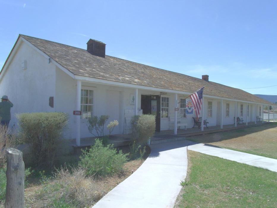
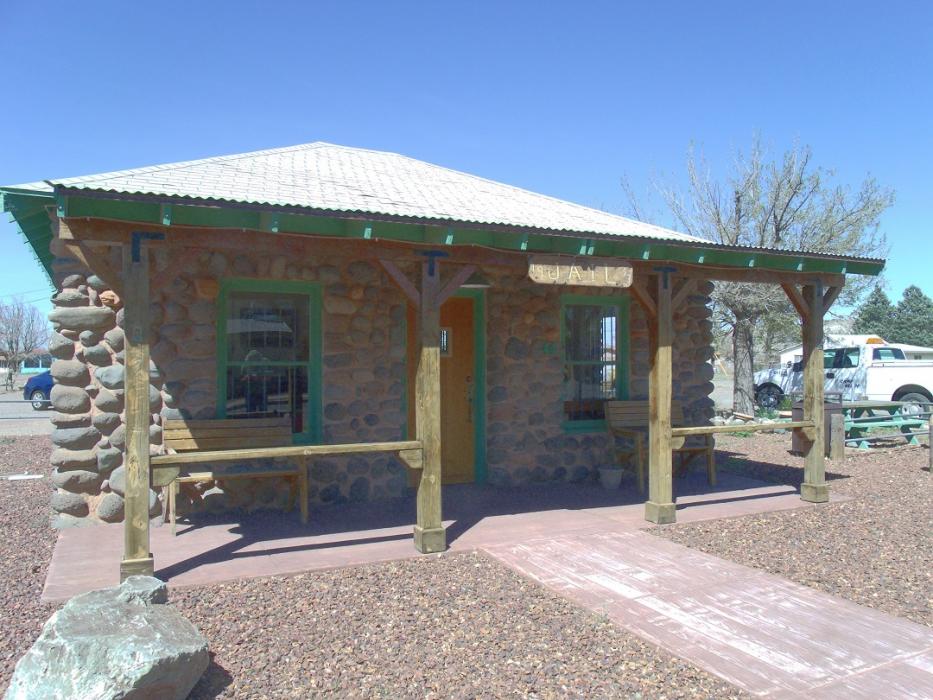
Gallery


Map and nearest places
| Longitude | Latitude |
|---|---|
| 34.566667 | -111.856111 |
| 34°34'0"N | 111°51'0"W |
| Nearest places | ||
|---|---|---|
| Cornville | 17.3km | |
| Cottonwood | 23.5km | |
| Cottonwood Airport | 24.2km | |
| Jerome | 31.1km | |
| Sedona Airport | 32.0km | |
| Sedona | 33.2km | |
| Prescott Municipal Airport | 52.5km | |
| Prescott | 55.6km | |
| Payson Airport | 58.6km | |
| Payson | 60.6km | |
| Flagstaff Pulliam Airport | 65.8km | |
| Sky Ranch Airport | 83.3km | |
| John Paul II International Airport | 9,471.9km | |
| Sir Gaėtan Duval Airport | 18,302.4km | |
Accomodation
Restaurants
Breweries
Weblinks
Comments
You need to log in to add comment