


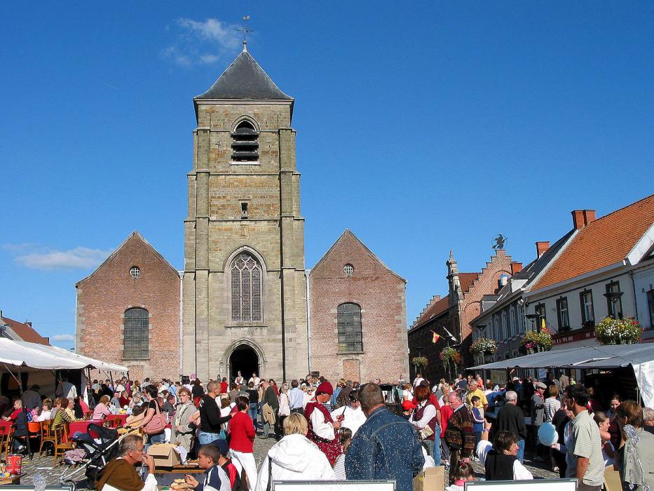

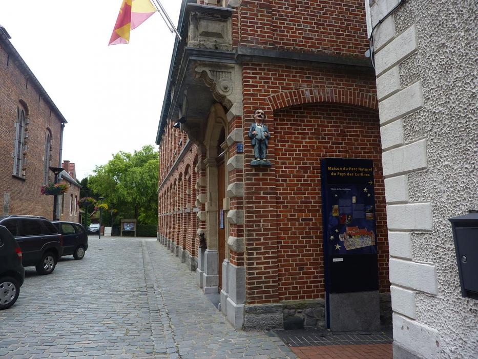


Map and nearest places
| Longitude | Latitude |
|---|---|
| 50.733333 | 3.683333 |
| 50°43'0"N | 3°40'0"E |
| Nearest places | ||
|---|---|---|
 | Ronse | 6.1km |
 | Lessines | 10.7km |
 | Horebeke | 11.1km |
 | Geraardsbergen | 13.4km |
 | Ath | 14.2km |
 | Oudenaarde | 14.2km |
| Flanders International Airport | 34.9km | |
| Lille Lesquin International Airport | 46.0km | |
| Aérodrome de Valenciennes - Denain | 48.0km | |
| Brussels International Airport | 59.6km | |
| Brussels South Charleroi Airport | 62.4km | |
| Antwerp International Airport | 74.4km | |
| John Paul II International Airport | 1,141.2km | |
| Tuuta Airport | 19,245.2km | |
Restaurants
Weblinks
Comments
You need to log in to add comment