


_(11362322146)_1517922881_700.jpg)
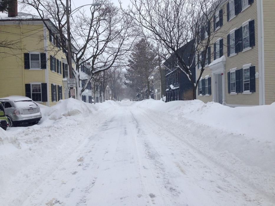
_(11362557705)_489593715_700.jpg)
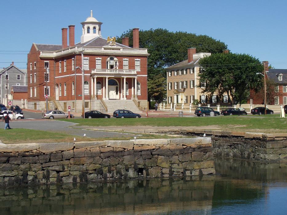
_-_salem,_massachusetts_2123564310_700.jpg)


Map and nearest places
| Longitude | Latitude |
|---|---|
| 42.519444 | -70.897222 |
| 42°31'0"N | 70°53'0"W |
| Nearest places | ||
|---|---|---|
| Beverly | 4.5km | |
| Swampscott | 5.7km | |
| Danvers | 6.8km | |
| Beverly Municipal Airport | 7.4km | |
 | Ipswich | 18.3km |
| Boston Logan International Airport | 19.6km | |
| Woburn | 21.4km | |
| Gloucester | 22.0km | |
| Lawrence Municipal Airport | 28.7km | |
| Plum Island Airport | 31.0km | |
| Laurence G Hanscom Field Airport | 32.6km | |
| Norwood Memorial Airport | 43.0km | |
| John Paul II International Airport | 6,578.0km | |
| Busselton Regional Airport | 18,890.5km | |
Accomodation
Restaurants
Museums

Golfs club
Wineries
Spirits Distillery
Breweries
Weblinks
Comments
You need to log in to add comment