


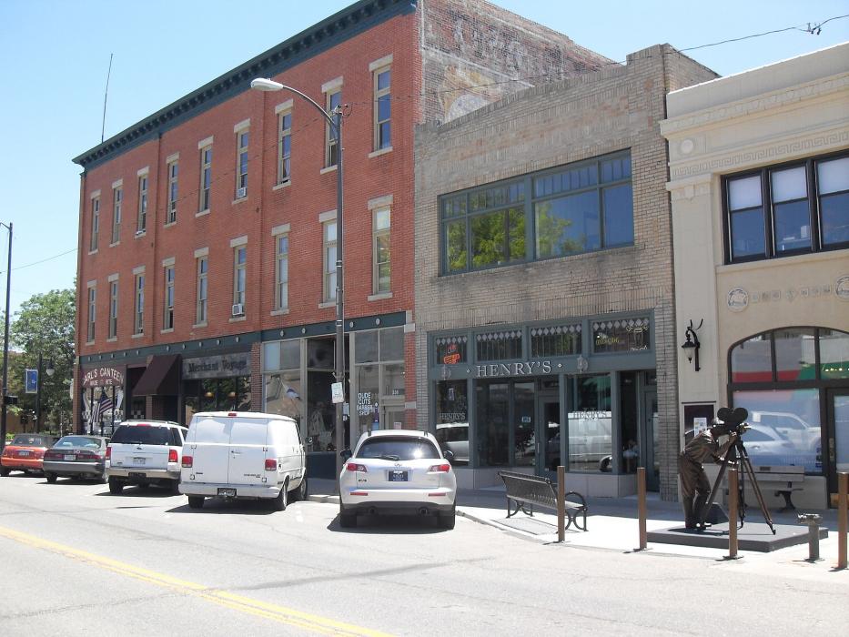
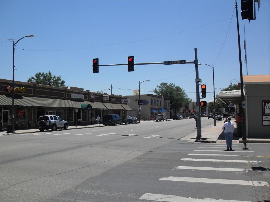
Gallery


Map and nearest places
| Longitude | Latitude |
|---|---|
| 40.404722 | -105.085833 |
| 40°24'0"N | 105°5'0"W |
| Nearest places | ||
|---|---|---|
| Fort Collins-Loveland Municipal Airport | 8.2km | |
| Berthoud | 10.9km | |
| Windsor | 16.8km | |
| Fort Collins | 17.2km | |
| Mead | 21.6km | |
| Lyons | 25.4km | |
| Longmont | 26.0km | |
| Vance Brand Airport | 27.6km | |
| Greeley-Weld County Airport | 38.5km | |
| Boulder Municipal Airport | 42.3km | |
| Erie Municipal Airport | 44.0km | |
| Rocky Mountain Metropolitan Airport | 55.2km | |
| John Paul II International Airport | 8,609.3km | |
| Sir Ga�tan Duval Airport | 17,469.8km | |
Accomodation
Restaurants
Wineries
Breweries
Weblinks
Comments
On 02-14-2021 17:46 Jerzy said:
There are 615.99 miles from Loveland to Phoenix in southwest direction and 869 miles (1,398.52 kilometers) by car, following the I-70 W route.
On 11-24-2020 20:58 Jerzy said:
Distance New-York-City,NY Loveland,CO 1791.4 miles.
On 01-03-2020 20:58 Jerzy said:
There are 45.73 miles from Loveland to Denver in south direction and 53 miles (85.30 kilometers) by car, following the I-25 S route.Loveland and Denver are 52 minutes far apart, if you drive non-stop.
You need to log in to add comment