


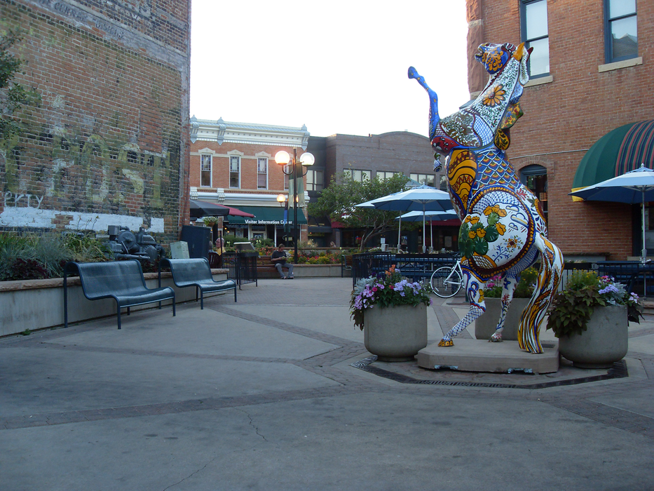
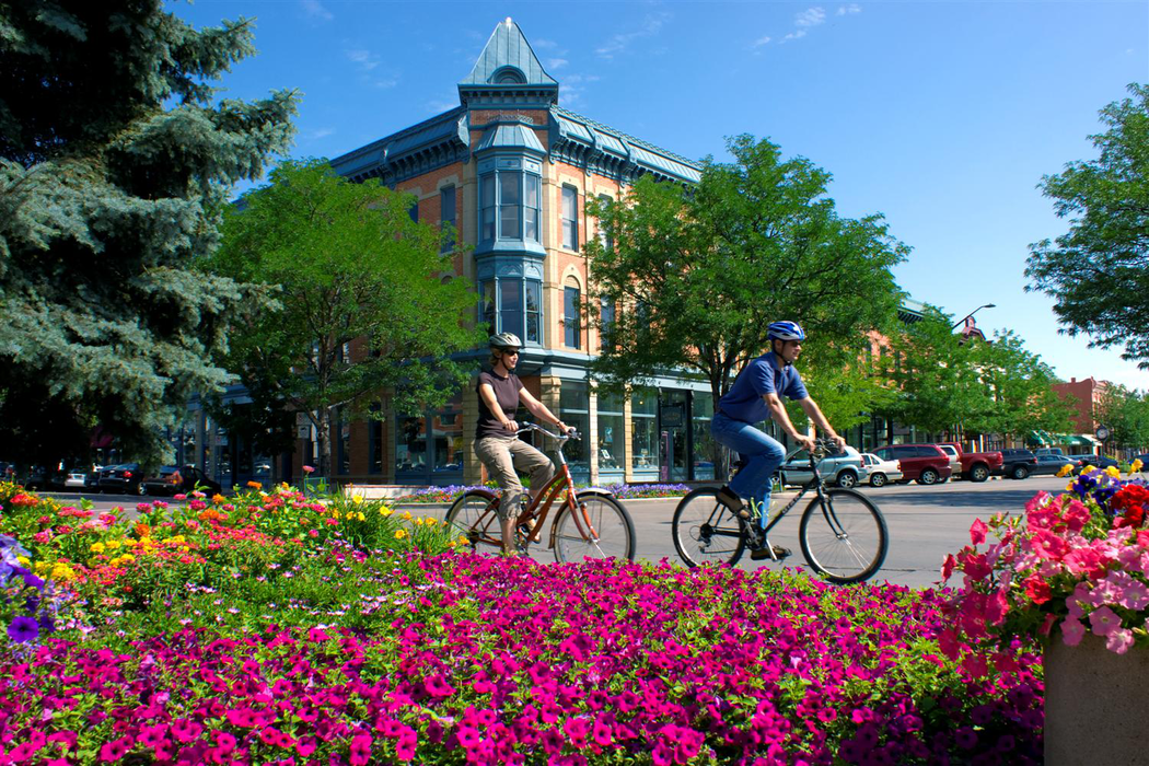


Map and nearest places
| Longitude | Latitude |
|---|---|
| 40.5591666666667 | -105.078055555556 |
| 40°33'0"N | 105°4'0"W |
| Nearest places | ||
|---|---|---|
| Fort Collins-Loveland Municipal Airport | 13.2km | |
| Windsor | 16.7km | |
| Loveland | 17.2km | |
| Berthoud | 28.0km | |
| Greeley | 34.0km | |
| Mead | 38.0km | |
| Greeley-Weld County Airport | 40.0km | |
| Lyons | 40.6km | |
| Vance Brand Airport | 44.5km | |
| Boulder Municipal Airport | 59.1km | |
| Erie Municipal Airport | 61.1km | |
| Cheyenne Regional Airport | 70.0km | |
| John Paul II International Airport | 8,594.5km | |
| Sir Ga�tan Duval Airport | 17,454.4km | |
Accomodation
Restaurants
Golfs club
Wineries
Spirits Distillery
Breweries
Airports
Weblinks
Comments
On 02-14-2021 18:14 Jerzy said:
There are 980.64 miles from Fort Collins to Seattle in northwest direction and 1,276 miles (2,053.52 kilometers) by car, following the I-84 route.
On 02-14-2021 18:13 Jerzy said:
There are 58.67 miles from Fort Collins to Denver in south direction and 64 miles (103.00 kilometers) by car, following the I-25 S route.
You need to log in to add comment