


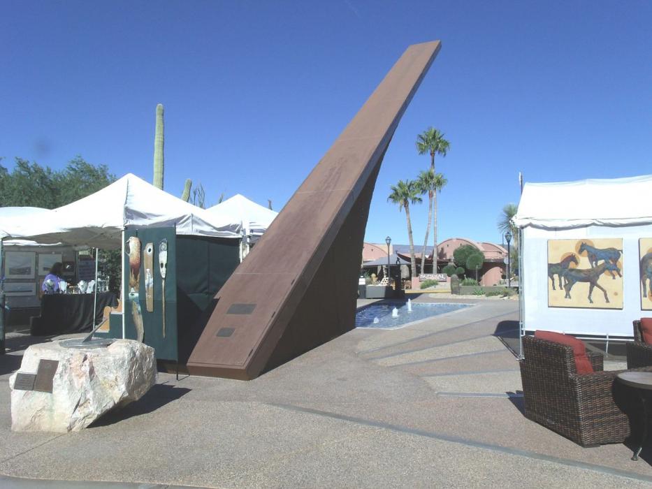
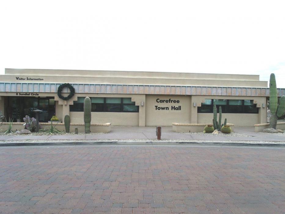
Gallery


Map and nearest places
| Longitude | Latitude |
|---|---|
| 33.827222 | -111.923611 |
| 33°49'0"N | 111°55'0"W |
| Nearest places | ||
|---|---|---|
| Sky Ranch Airport | 2.6km | |
 | Cave Creek | 2.9km |
| Phoenix Deer Valley Airport | 21.3km | |
| Scottsdale Airport | 22.8km | |
| Fountain Hills | 31.5km | |
.svg_1083512113_16.png) | Scottsdale | 36.4km |
| Peoria | 39.9km | |
| Tempe | 44.3km | |
| Phoenix | 44.4km | |
| Phoenix Sky Harbor International Airport | 44.5km | |
| Falcon Field Airport | 44.6km | |
| Phoenix Goodyear Airport | 61.3km | |
| John Paul II International Airport | 9,546.9km | |
| Sir Gaëtan Duval Airport | 18,382.7km | |
Accomodation
Restaurants
Museums
Golfs club
Airports
Weblinks
Comments
You need to log in to add comment