


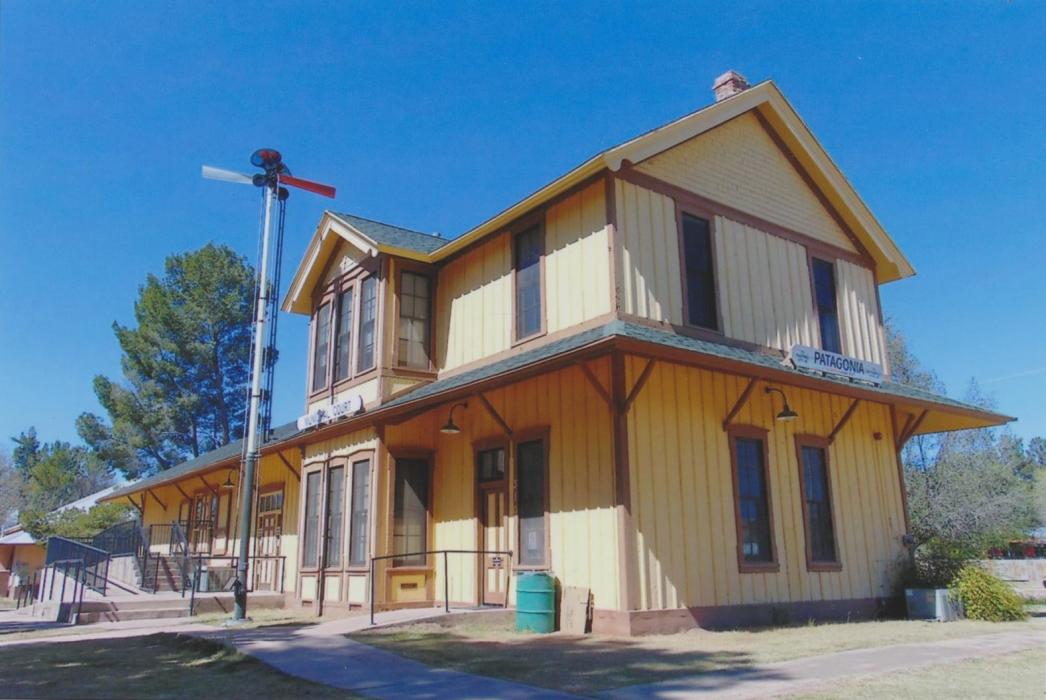
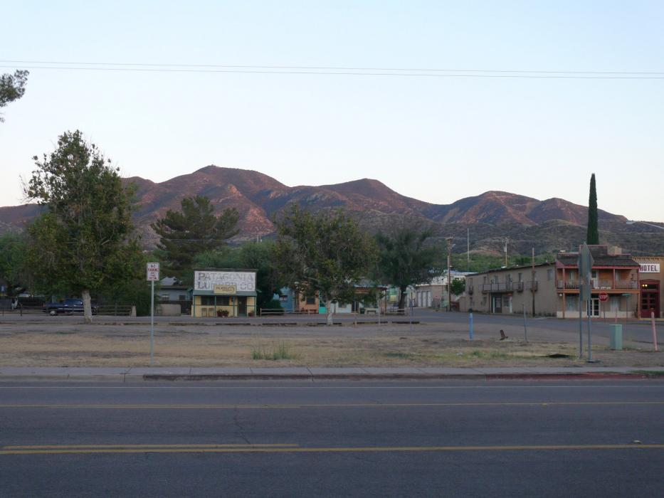
Gallery


Map and nearest places
| Longitude | Latitude |
|---|---|
| 31.541667 | -110.753333 |
| 31°32'0"N | 110°45'0"W |
| Nearest places | ||
|---|---|---|
| Nogales International Airport | 16.4km | |
| Sonoita | 17.0km | |
| Elgin | 25.3km | |
| Nogales | 27.3km | |
| Nogales | 30.8km | |
| Sierra Vista Municipal Airport | 39.1km | |
| Huachuca City | 40.9km | |
| Nogales International Airport | 41.0km | |
| Sierra Vista | 45.2km | |
| Benson Airport | 66.2km | |
| Tucson International Airport | 66.3km | |
| Cananea Airport | 75.9km | |
| John Paul II International Airport | 9,716.3km | |
| Sir Gaëtan Duval Airport | 18,578.8km | |
Accomodation
Restaurants
Weblinks
Comments
You need to log in to add comment