


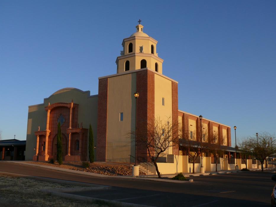
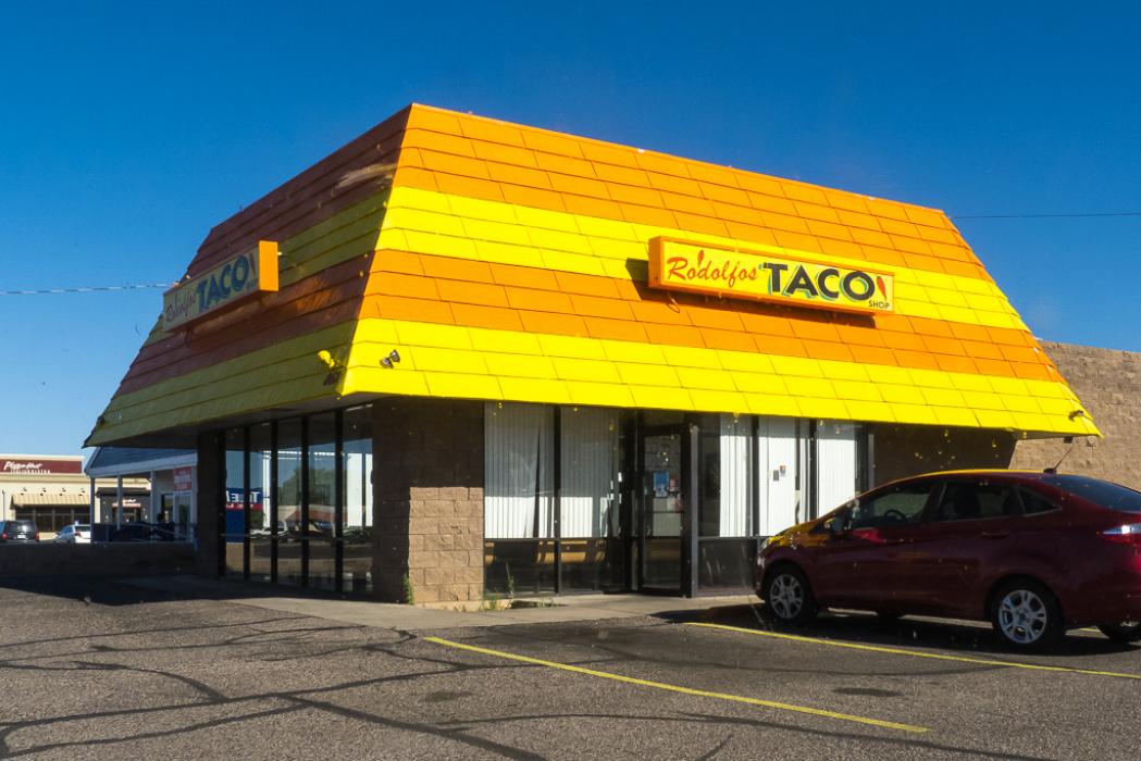
Gallery


Map and nearest places
| Longitude | Latitude |
|---|---|
| 31.5455555555556 | -110.276388888889 |
| 31°32'0"N | 110°16'0"W |
| Nearest places | ||
|---|---|---|
| Sierra Vista Municipal Airport | 8.0km | |
| Huachuca City | 11.6km | |
| Elgin | 26.7km | |
| Tombstone | 27.6km | |
| Sonoita | 38.3km | |
| Bisbee | 38.5km | |
| Bisbee Municipal Airport | 42.4km | |
| Patagonia | 45.2km | |
| Benson Airport | 46.5km | |
| Nogales International Airport | 56.0km | |
| Cananea Airport | 60.7km | |
| Bisbee-Douglas International Airport | 64.3km | |
| John Paul II International Airport | 9,693.7km | |
| Sir Gaëtan Duval Airport | 18,558.3km | |
Accomodation
Restaurants
Airports
Weblinks
Comments
You need to log in to add comment