


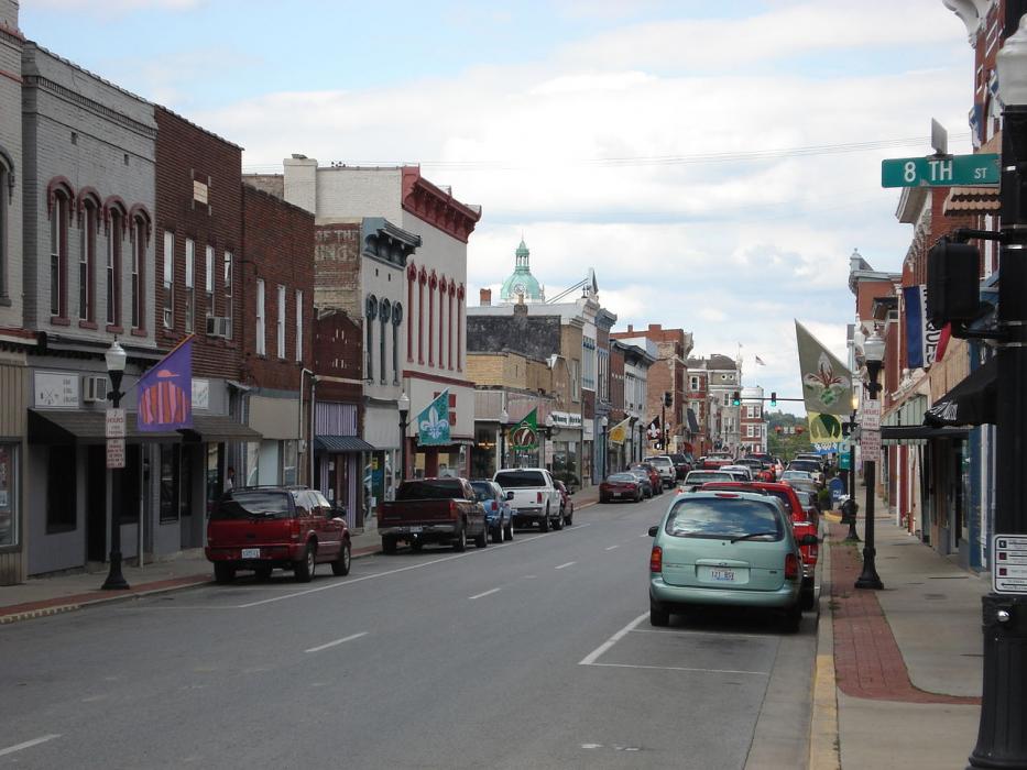

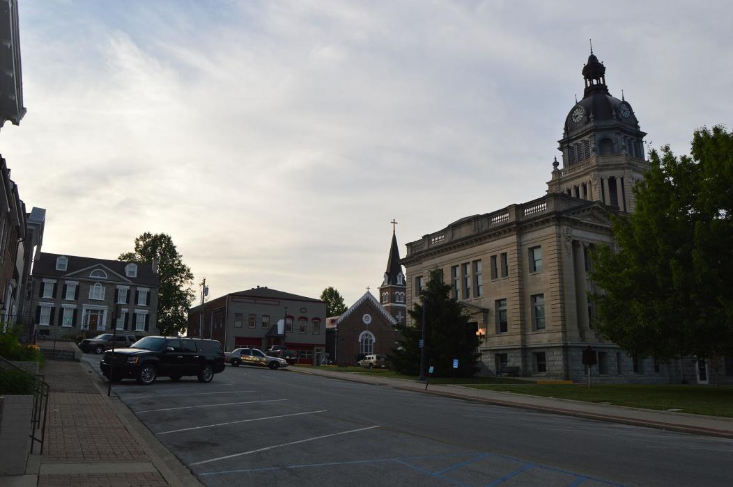
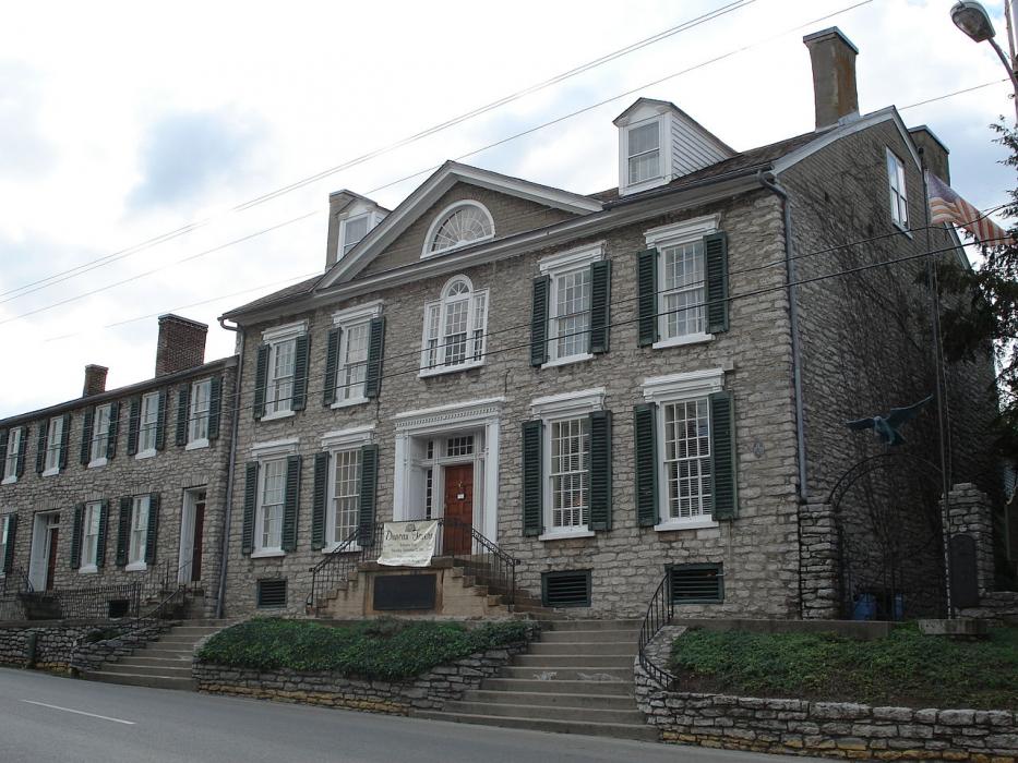


Map and nearest places
| Longitude | Latitude |
|---|---|
| 38.206389 | -84.257778 |
| 38°12'0"N | 84°15'0"W |
| Nearest places | ||
|---|---|---|
| Cynthiana-Harrison County Airport | 17.9km | |
| Cynthiana | 20.5km | |
| Carlisle | 23.2km | |
| Winchester | 24.4km | |
| Georgetown | 26.4km | |
| Lexington | 28.6km | |
| Mount Sterling-Montgomery County Airport | 29.4km | |
| Mount Sterling | 32.1km | |
| Blue Grass Airport | 35.8km | |
| Stanton Airport | 53.6km | |
| Capital City Airport | 56.6km | |
| Fleming-Mason Airport | 58.3km | |
| John Paul II International Airport | 7,716.0km | |
| Busselton Regional Airport | 18,180.2km | |
Accomodation
Restaurants
Breweries
Weblinks
Comments
You need to log in to add comment