


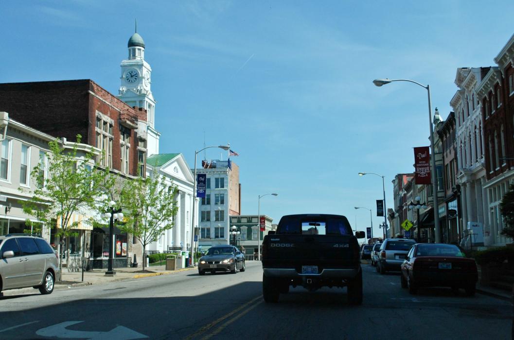
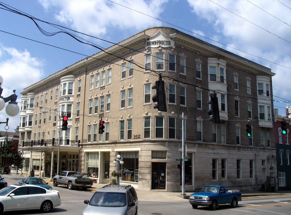
Gallery


Map and nearest places
| Longitude | Latitude |
|---|---|
| 37.994722 | -84.184167 |
| 37°59'0"N | 84°11'0"W |
| Nearest places | ||
|---|---|---|
| Mount Sterling-Montgomery County Airport | 19.3km | |
| Mount Sterling | 22.1km | |
| Paris | 24.4km | |
| Lexington | 27.5km | |
| Stanton | 32.9km | |
| Stanton Airport | 33.8km | |
| Nicholasville | 36.6km | |
| Blue Grass Airport | 37.2km | |
| Carlisle | 38.1km | |
| Cynthiana-Harrison County Airport | 42.2km | |
| Capital City Airport | 66.4km | |
| Fleming-Mason Airport | 72.0km | |
| John Paul II International Airport | 7,729.3km | |
| Busselton Regional Airport | 18,190.5km | |
Restaurants
Wineries
Breweries
Weblinks
Comments
You need to log in to add comment