


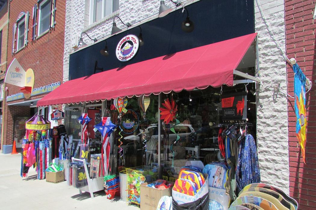
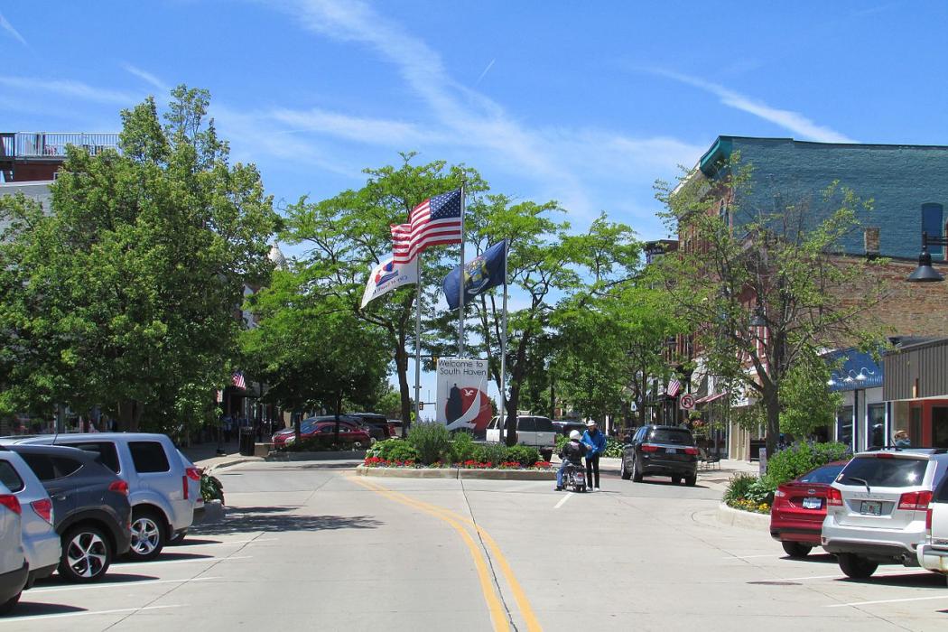
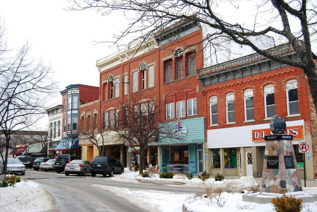
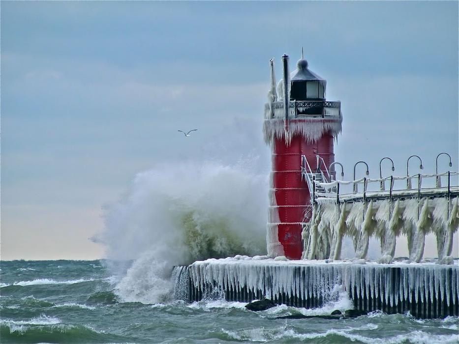


Map and nearest places
| Longitude | Latitude |
|---|---|
| 42.403056 | -86.273611 |
| 42°24'0"N | 86°16'0"W |
| Nearest places | ||
|---|---|---|
| Coloma | 24.3km | |
| Southwest Michigan Regional Airport | 33.1km | |
| Benton Harbor | 35.0km | |
| Paw Paw | 37.7km | |
| St. Joseph | 38.1km | |
| West Michigan Regional Airport | 40.1km | |
| Holland | 44.6km | |
| Baroda | 52.9km | |
| Kalamazoo-Battle Creek International Airport | 62.2km | |
| Grand Haven Memorial Airpark | 70.4km | |
| South Bend Regional Airport | 77.3km | |
| Elkhart Municipal Airport | 79.2km | |
| John Paul II International Airport | 7,482.2km | |
| Busselton Regional Airport | 17,893.2km | |
Accomodation
Restaurants
Breweries
Weblinks
Comments
You need to log in to add comment