


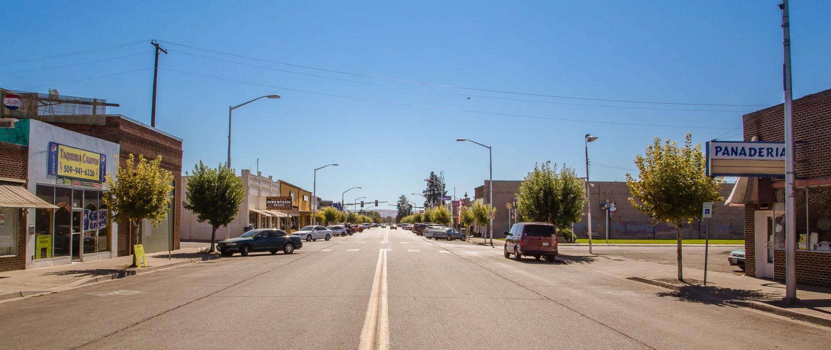
Gallery


Map and nearest places
| Longitude | Latitude |
|---|---|
| 46.445556 | -120.421944 |
| 46°26'0"N | 120°25'0"W |
| Nearest places | ||
|---|---|---|
| Toppenish | 11.2km | |
| Yakima Air Terminal | 16.5km | |
 | Yakima | 16.7km |
| Selah | 24.6km | |
| Sunnyside | 34.4km | |
| Sunnyside Municipal Airport | 37.1km | |
| Prosser Airport | 54.9km | |
| Prosser | 57.0km | |
| Ellensburg | 62.0km | |
| Richland Airport | 87.2km | |
| Tri-Cities Airport | 102.0km | |
| Pangborn Memorial Airport | 107.2km | |
| John Paul II International Airport | 8,620.2km | |
| Tolagnaro Airport | 17,383.9km | |
Wineries
Weblinks
Comments
You need to log in to add comment