


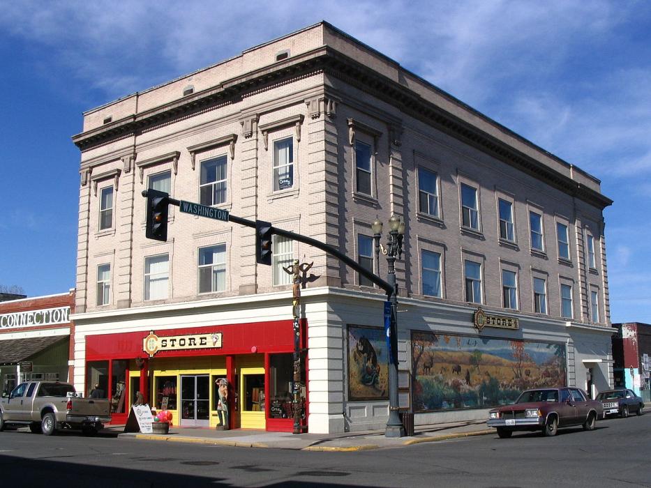
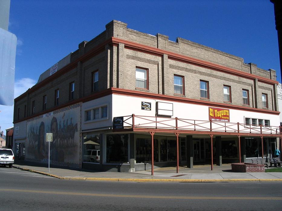
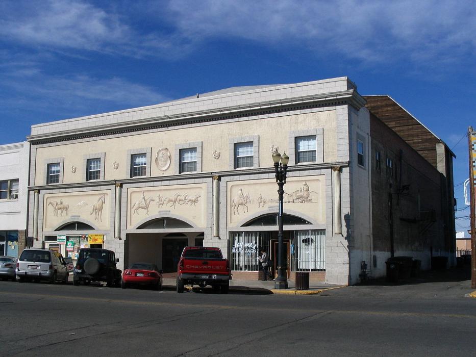


Map and nearest places
| Longitude | Latitude |
|---|---|
| 46.378889 | -120.311944 |
| 46°22'0"N | 120°18'0"W |
| Nearest places | ||
|---|---|---|
| Wapato | 11.2km | |
| Sunnyside | 23.9km | |
| Sunnyside Municipal Airport | 26.9km | |
 | Yakima | 26.9km |
| Yakima Air Terminal | 27.5km | |
| Selah | 34.9km | |
| Prosser Airport | 44.0km | |
| Prosser | 46.1km | |
| Benton City | 64.4km | |
| Richland Airport | 77.8km | |
| Tri-Cities Airport | 92.5km | |
| Hermiston Municipal Airport | 101.7km | |
| John Paul II International Airport | 8,623.4km | |
| Tolagnaro Airport | 17,386.1km | |
Weblinks
Comments
You need to log in to add comment