


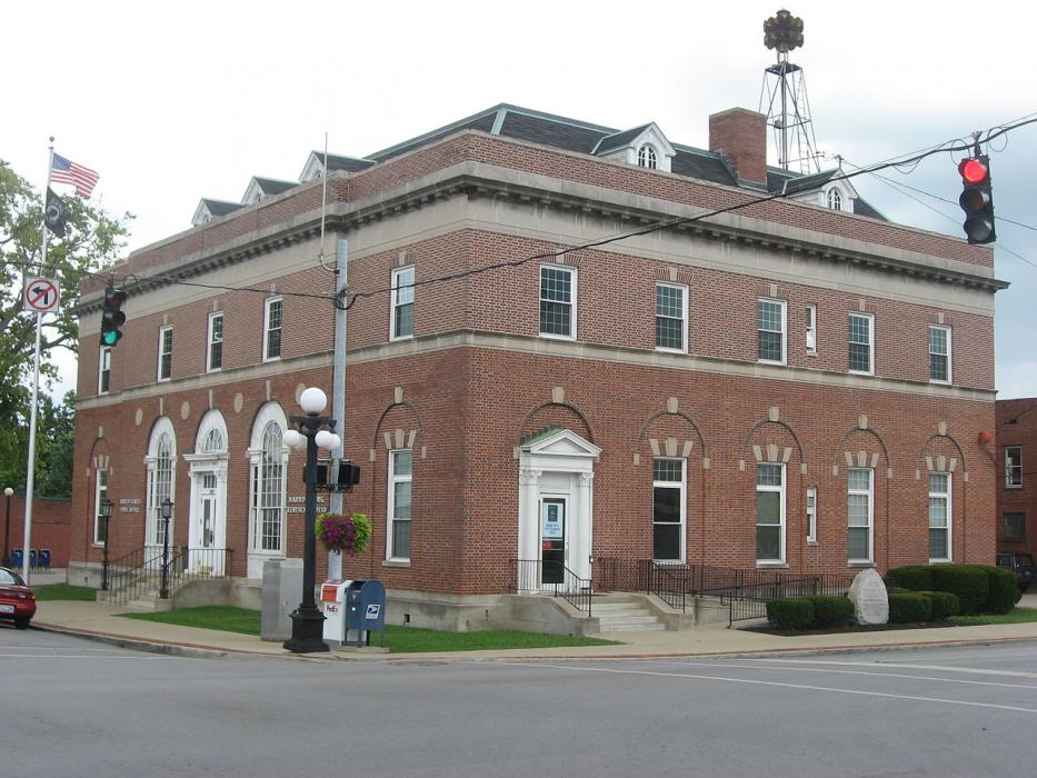
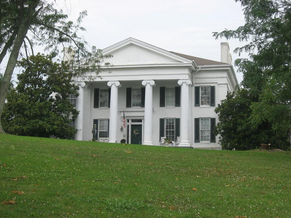
Gallery


Map and nearest places
| Longitude | Latitude |
|---|---|
| 37.763889 | -84.846111 |
| 37°45'0"N | 84°50'0"W |
| Nearest places | ||
|---|---|---|
| Danville | 14.8km | |
| Wilmore | 19.5km | |
| Nicholasville | 27.1km | |
| Stanford | 30.5km | |
| Lawrenceburg | 30.7km | |
| Versailles | 33.9km | |
| Blue Grass Airport | 36.9km | |
| Lebanon-Springfield Airport | 37.7km | |
| Capital City Airport | 46.8km | |
| Samuels Field Airport | 57.7km | |
| Taylor County Airport | 60.8km | |
| Lake Cumberland Regional Airport | 81.6km | |
| John Paul II International Airport | 7,787.0km | |
| Busselton Regional Airport | 18,136.8km | |
Restaurants
Golfs club
Spirits Distillery
Breweries
Weblinks
Comments
You need to log in to add comment