


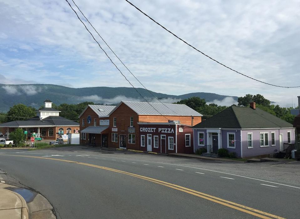
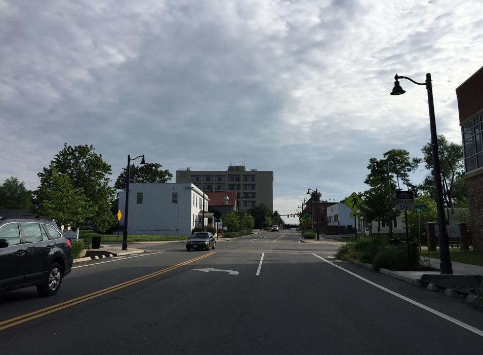
Gallery


Map and nearest places
| Longitude | Latitude |
|---|---|
| 38.07 | -78.701667 |
| 38°4'0"N | 78°42'0"W |
| Nearest places | ||
|---|---|---|
 | Charlottesville | 20.0km |
| Charlottesville-Albemarle Airport | 23.1km | |
| Shenandoah Valley Regional Airport | 27.5km | |
| Weyers Cave | 30.4km | |
| Stauton | 34.2km | |
| Scottsville | 34.8km | |
| Lovingston | 37.5km | |
| Bridgewater Air Park | 40.0km | |
 | Bridgewater | 42.3km |
| Gordonsville Municipal Airport | 47.8km | |
| Orange County Airport | 60.7km | |
| Louisa County Airport | 64.4km | |
| John Paul II International Airport | 7,397.3km | |
| Busselton Regional Airport | 18,656.7km | |
Restaurants
Golfs club
Wineries
Breweries
Weblinks
Comments
You need to log in to add comment