


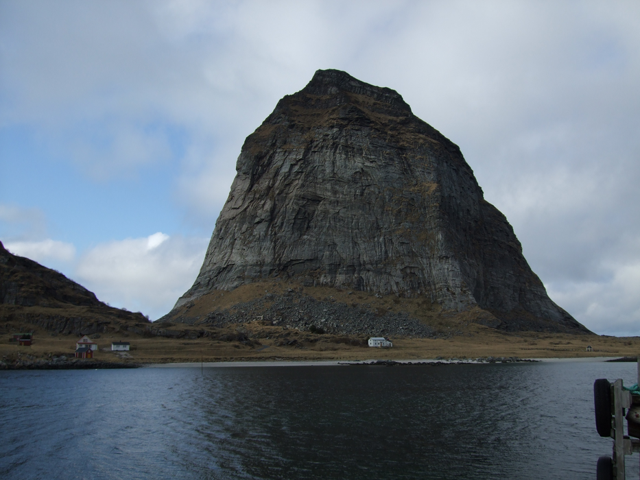
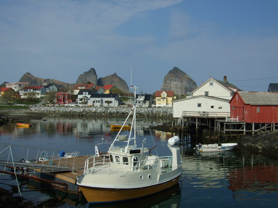
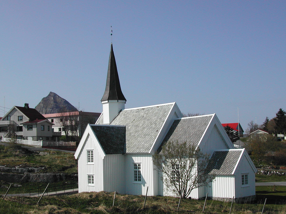


Map and nearest places
| Longitude | Latitude |
|---|---|
| 66.5075 | 12.0308333333333 |
| 66°30'0"N | 12°1'0"E |
| Nearest places | ||
|---|---|---|
| Lovund | 22.2km | |
 | Luroy | 37.5km |
| Sandnessjoen | 60.4km | |
| Sandnessjoen Airport | 64.3km | |
 | Mosjoen | 91.2km |
| Vega | 92.6km | |
 | Mo i Rana | 95.9km |
| Mosjoen Airport | 96.5km | |
| Mo i Rana Airport | 102.2km | |
| Rost Airport | 112.3km | |
| Bronnoysund Airport | 116.7km | |
| Vaeroy Heliport | 131.1km | |
| John Paul II International Airport | 1,878.9km | |
| Tuuta Airport | 17,439.7km | |
Weblinks
Comments
You need to log in to add comment