


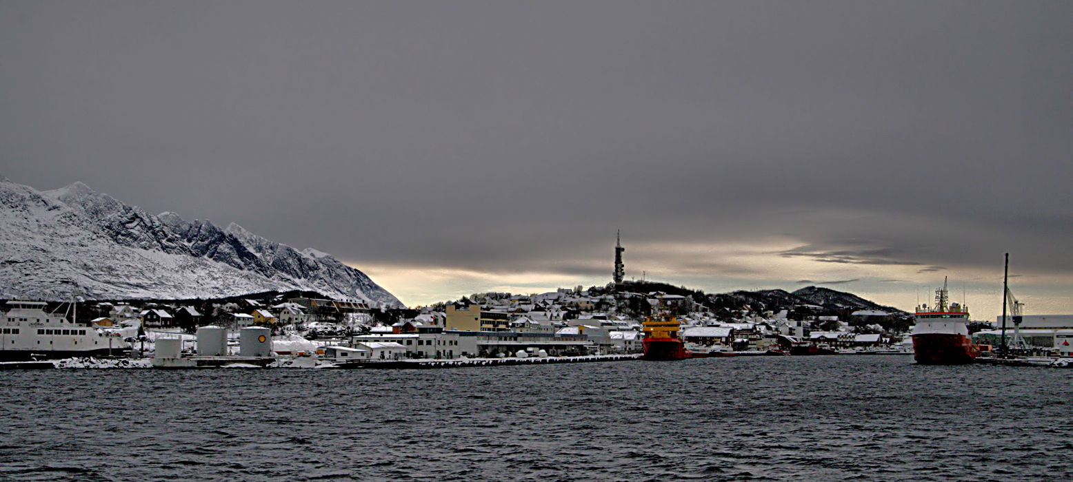


Map and nearest places
| Longitude | Latitude |
|---|---|
| 66.02138888888891 | 12.6313888888889 |
| 66°1'0"N | 12°37'0"E |
| Nearest places | ||
|---|---|---|
| Sandnessjoen Airport | 10.3km | |
 | Mosjoen | 33.0km |
| Mosjoen Airport | 37.4km | |
| Lovund | 40.0km | |
 | Luroy | 46.7km |
| Vega | 49.2km | |
 | Traena Island | 60.4km |
| Bronnoysund Airport | 65.0km | |
 | Bronnoysund | 65.2km |
| Mo i Rana Airport | 84.1km | |
| Hemavan Airport | 113.8km | |
| Rorvik Airport | 148.4km | |
| John Paul II International Airport | 1,819.3km | |
| Tuuta Airport | 17,484.0km | |
Airports

Weblinks
Comments
You need to log in to add comment