


Gallery


Map and nearest places
| Longitude | Latitude |
|---|---|
| 20.9605555555556 | 101.4025 |
| 20°57'0"N | 101°24'0"E |
| Nearest places | ||
|---|---|---|
| Louang Namtha | 1.2km | |
| Ban Houeisai | 127.2km | |
| Ban Houeisai Airport | 127.3km | |
| Jinghong | 128.9km | |
| Gasa Airport | 130.1km | |
| Luang Prabang | 141.9km | |
| Luang Prabang International Airport | 142.2km | |
| Tachilek Airport | 161.9km | |
| Tachilek | 167.9km | |
| Dien Bien Phu Airport | 173.4km | |
| Dien Bien Phu | 173.8km | |
| Kengtung Airport | 187.1km | |
| John Paul II International Airport | 7,649.7km | |
| San Juan Airport | 19,292.3km | |
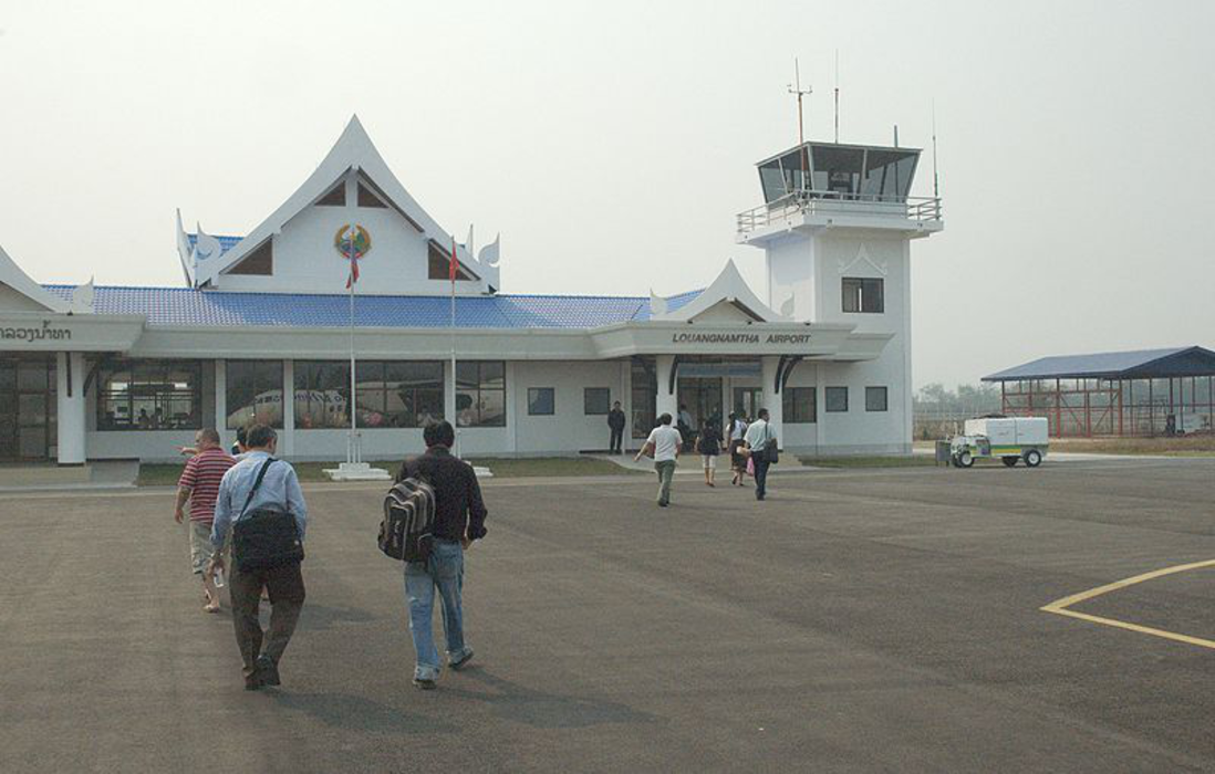
General informations
| Airport type | Local airport |
| ICAO | VLLN |
| IATA | LXG |
| Elevation | 1,968 ft / 600 m MSL |
Weblinks
Comments
You need to log in to add comment