


Gallery


Map and nearest places
| Longitude | Latitude |
|---|---|
| 19.8972222222222 | 102.160833333333 |
| 19°53'0"N | 102°9'0"E |
| Nearest places | ||
|---|---|---|
| Luang Prabang | 3.3km | |
| Xieng Khouang Airport | 115.7km | |
| Phonsavan | 117.3km | |
| Louang Namtha | 141.4km | |
| Louangnamtha Airport | 142.2km | |
| Ban Houeisai Airport | 184.5km | |
| Ban Houeisai | 184.9km | |
| Dien Bien Phu | 187.7km | |
| Nan Airport | 188.6km | |
| Dien Bien Phu Airport | 188.6km | |
| Nan | 190.3km | |
| Sam Neua Airport | 207.2km | |
| John Paul II International Airport | 7,790.1km | |
| San Juan Airport | 19,434.3km | |
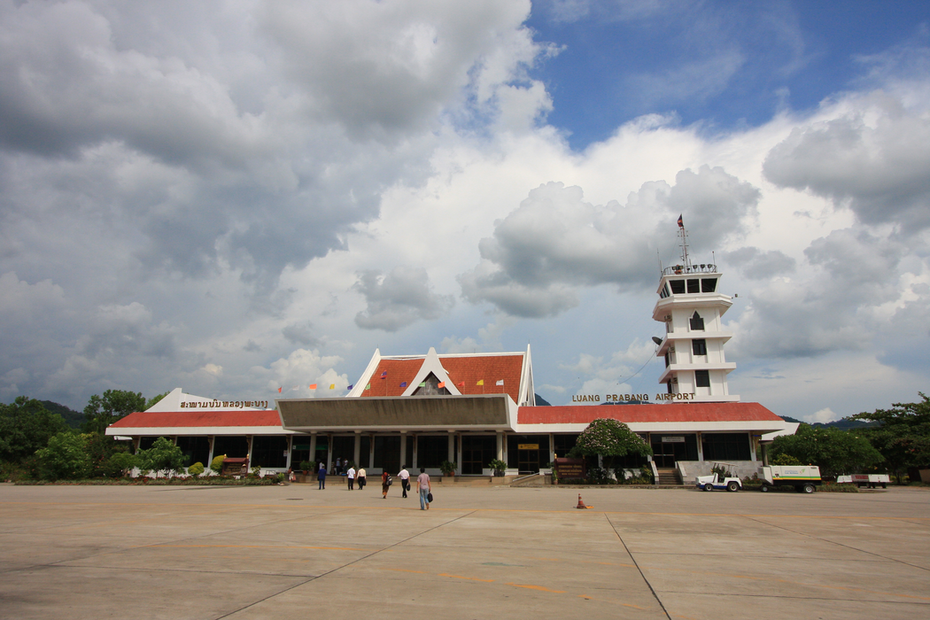
General informations
| Airport type | Regional Airport |
| ICAO | VLLB |
| IATA | LPQ |
| Elevation | 955 ft / 291 m MSL |
| World Pax Ranking 2014 | #1442 |
| Year | Pax |
|---|---|
| 2014 | 189164 |
Weblinks
Comments
You need to log in to add comment