


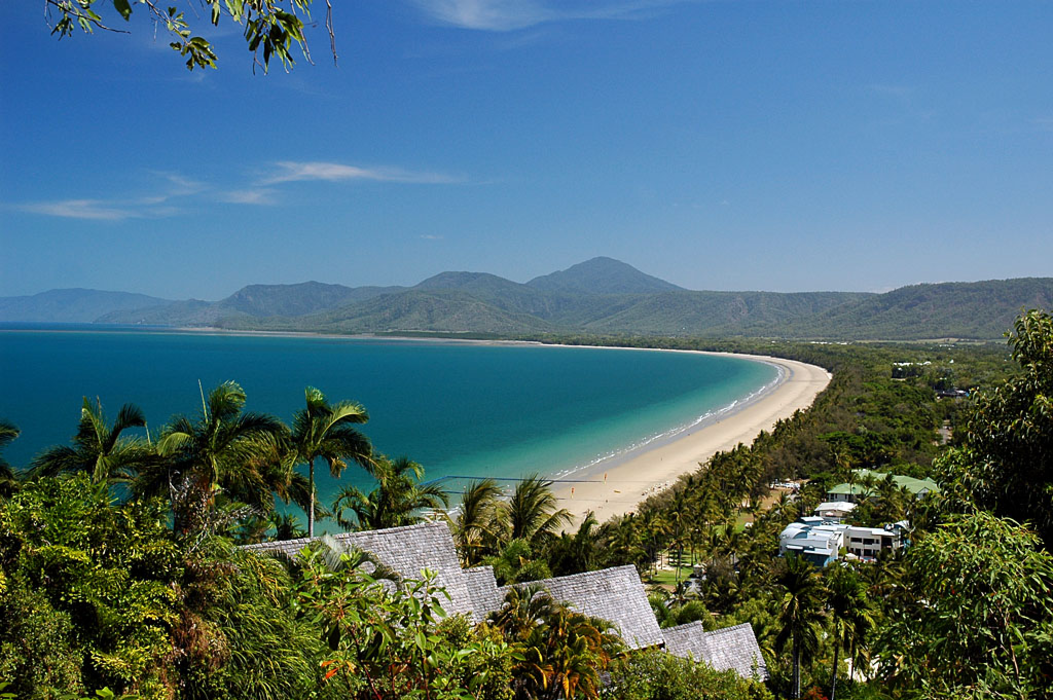


Map and nearest places
| Longitude | Latitude |
|---|---|
| -16.483611 | 145.465278 |
| 16°29'0"S | 145°27'0"E |
| Nearest places | ||
|---|---|---|
| Cairns Airport | 53.2km | |
| Cairns | 59.2km | |
| Green Island | 62.2km | |
| Bloomfield | 62.6km | |
| Bloomfield Airport | 69.4km | |
| Walkamin | 71.9km | |
| Cooktown | 114.7km | |
| Cooktown Airport | 119.4km | |
| Mission Beach | 168.5km | |
| Dunk Island Airport | 177.1km | |
| Lizard Island Airport | 202.0km | |
| Palm Island Airport | 278.9km | |
| John Paul II International Airport | 13,922.4km | |
| Sao Pedro Airport | 19,004.5km | |
Accomodation
Restaurants
Golfs club
Breweries
Weblinks
Comments
You need to log in to add comment