


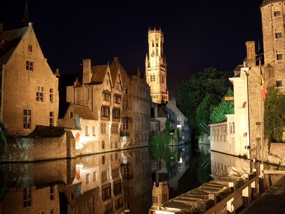


Map and nearest places
| Longitude | Latitude |
|---|---|
| 51.2166666666667 | 3.23333333333333 |
| 51°13'0"N | 3°13'0"E |
| Nearest places | ||
|---|---|---|
 | Damme | 5.1km |
 | Blankenberge | 12.3km |
 | Knokke | 13.4km |
 | Maldegem | 14.1km |
 | De Hann | 15.0km |
 | Gistel | 20.0km |
| Ostend-Bruges International Airport | 25.8km | |
| Flanders International Airport | 44.5km | |
| Lille Lesquin International Airport | 73.5km | |
| Merville Airport | 78.6km | |
| Antwerp International Airport | 85.5km | |
| Calais-Dunkerque Airport | 93.9km | |
| John Paul II International Airport | 1,171.3km | |
| Tuuta Airport | 19,191.2km | |
Accomodation

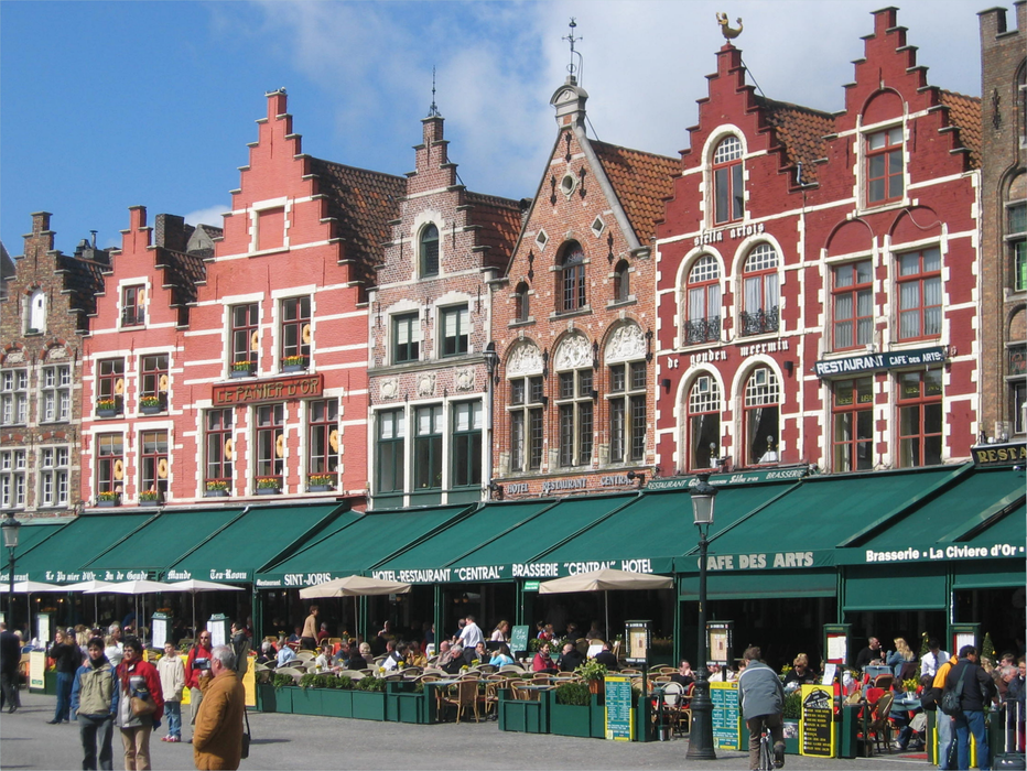
Restaurants
Museums
Breweries
Weblinks
Comments
You need to log in to add comment