


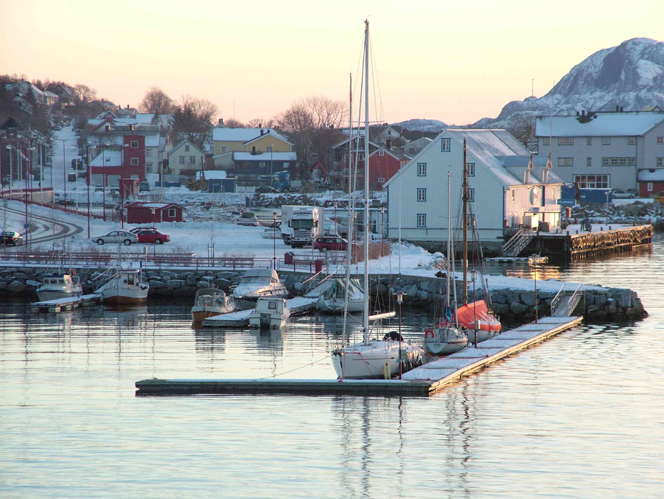
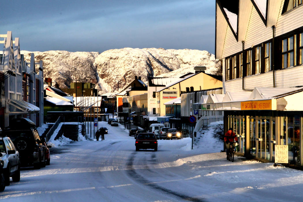
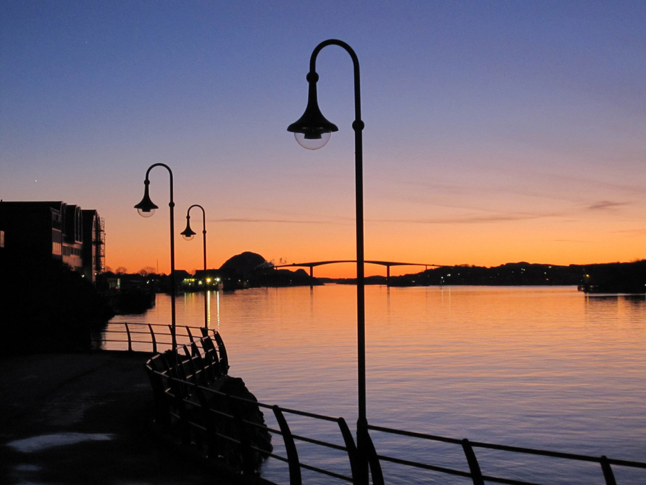
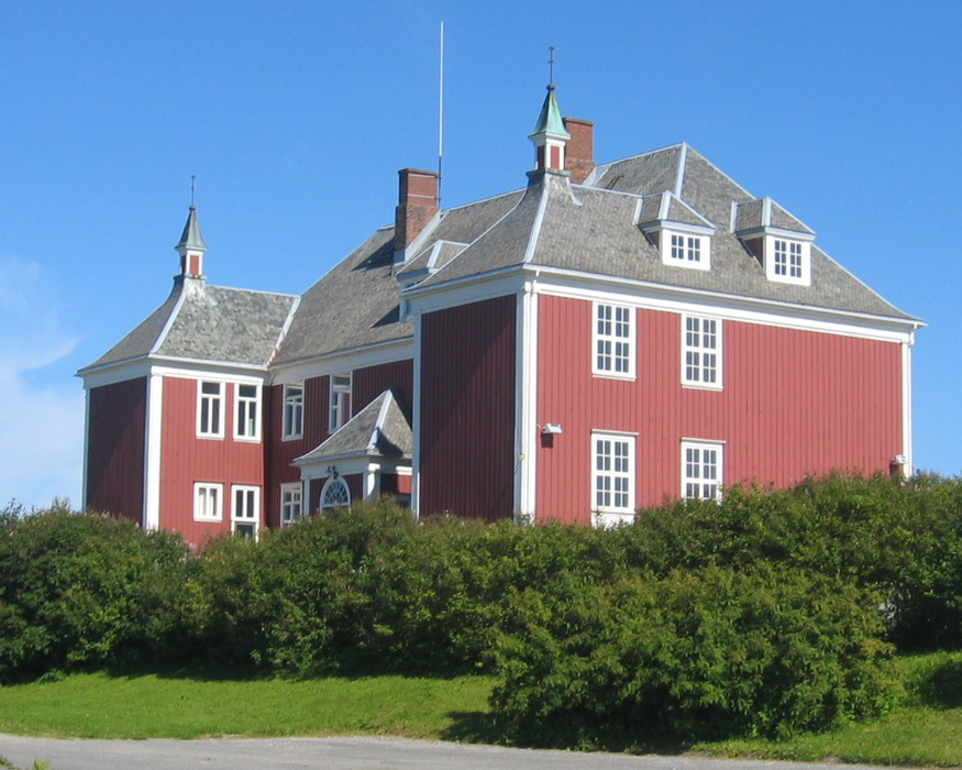
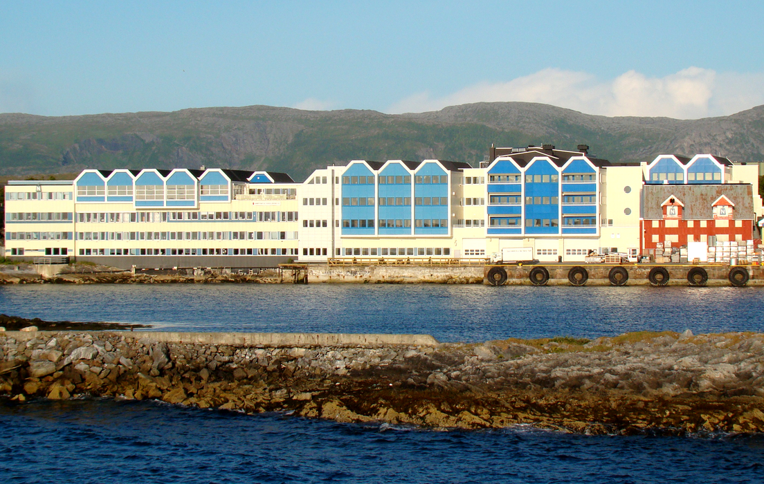
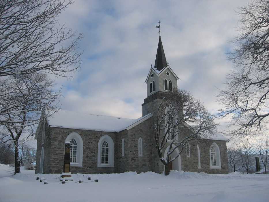
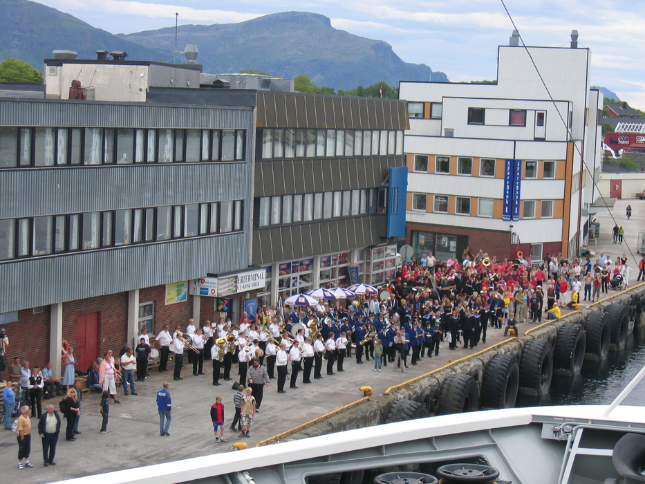
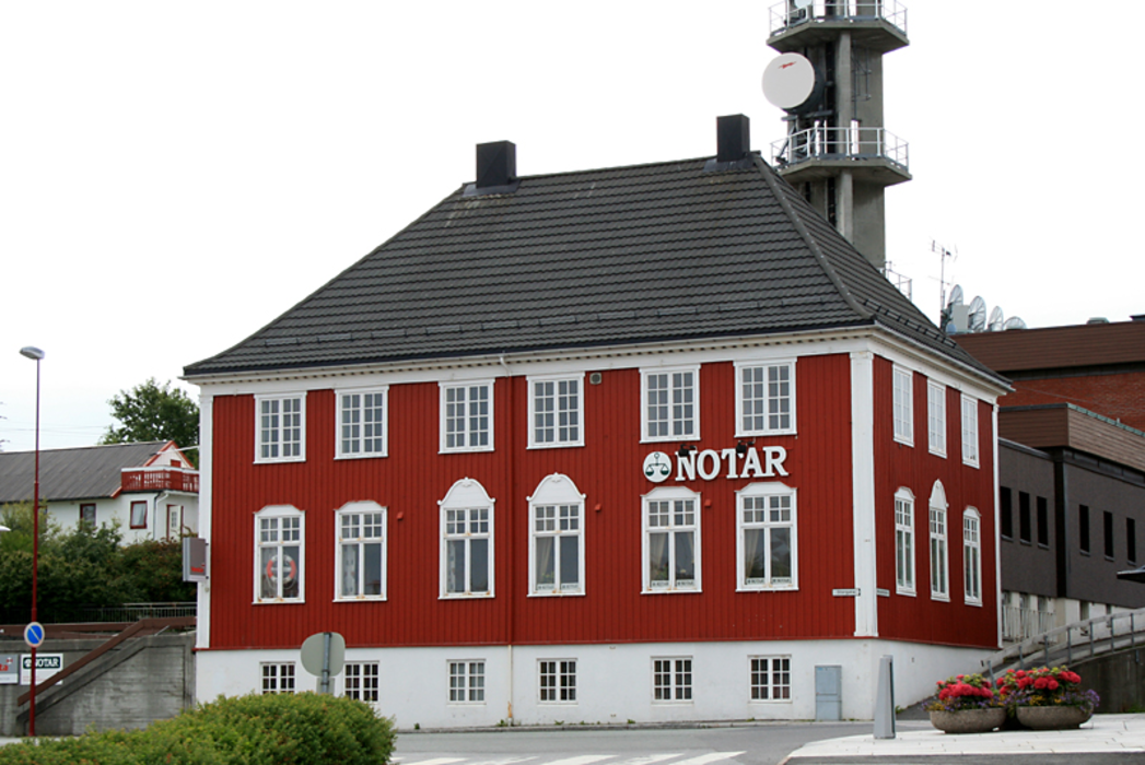
Gallery


Map and nearest places
| Longitude | Latitude |
|---|---|
| 65.4622222222222 | 12.199722222222201 |
| 65°27'0"N | 12°11'0"E |
| Nearest places | ||
|---|---|---|
| Bronnoysund Airport | 1.2km | |
| Vega | 26.2km | |
| Sandnessjoen Airport | 56.3km | |
| Mosjoen Airport | 58.7km | |
 | Mosjoen | 62.2km |
| Sandnessjoen | 65.2km | |
| Rorvik | 80.5km | |
| Rorvik Airport | 85.1km | |
| Lovund | 100.9km | |
 | Luroy | 111.8km |
| Namsos Airport | 114.2km | |
| Hemavan Airport | 137.7km | |
| John Paul II International Airport | 1,765.8km | |
| Tuuta Airport | 17,549.2km | |
Airports
Weblinks
Comments
You need to log in to add comment