


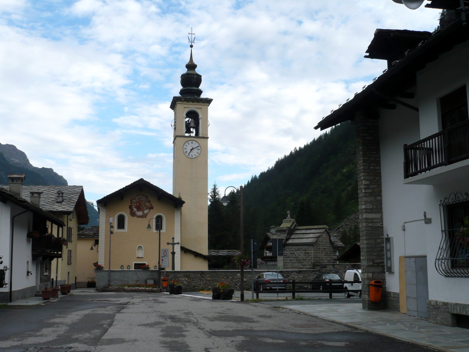


Map and nearest places
| Longitude | Latitude |
|---|---|
| 45.8333333333333 | 7.8333333333333295 |
| 45°49'0"N | 7°49'0"E |
| Nearest places | ||
|---|---|---|
| Champoluc | 7.7km | |
 | Alagna Valsesia | 8.4km |
 | Brusson | 10.7km |
 | Gressoney Saint Jean | 13.0km |
 | Ayas | 13.0km |
 | Gaby | 15.0km |
| Aosta Airport | 37.6km | |
| Biella-Cerrione Airport | 43.0km | |
| Sion Airport | 58.0km | |
| Turin International Airport | 70.7km | |
| Malpensa International Airport | 72.7km | |
| Bex Airport | 80.7km | |
| John Paul II International Airport | 1,005.8km | |
| Tuuta Airport | 19,608.8km | |
Weblinks
Comments
You need to log in to add comment