


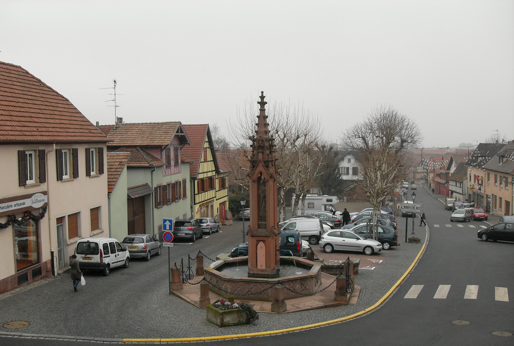
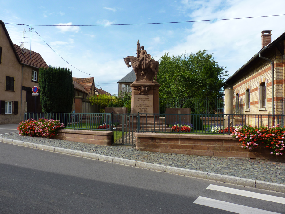
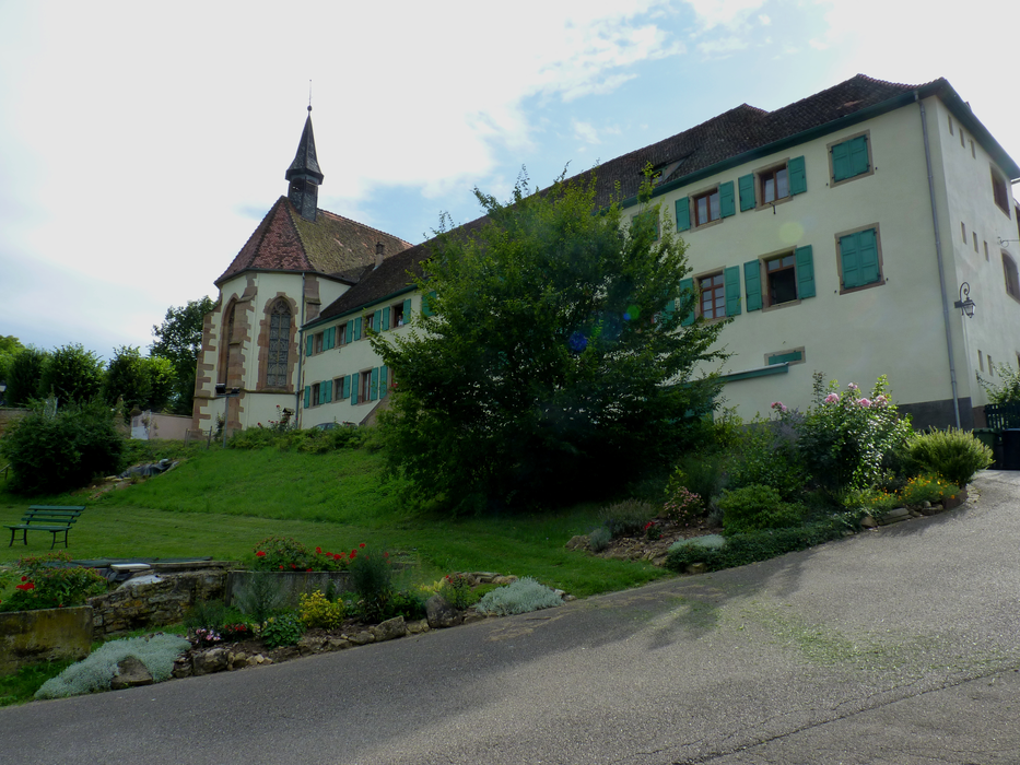
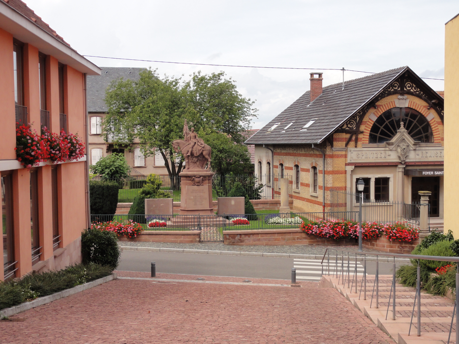
Gallery


Map and nearest places
| Longitude | Latitude |
|---|---|
| 48.487777777777794 | 7.49027777777778 |
| 48°29'0"N | 7°29'0"E |
| Nearest places | ||
|---|---|---|
 | Obernai | 2.8km |
 | Boersch | 3.8km |
| Niedernai | 4.8km | |
 | Ottrott | 5.7km |
 | Molsheim | 6.2km |
 | Mutzig | 6.3km |
| Strasbourg Airport | 12.5km | |
| Lahr - Black Forest Airport | 28.2km | |
| Offenburg Airport | 32.3km | |
| Colmar Airport | 43.1km | |
| Karlsruhe-Baden Airport | 54.1km | |
| Epinal - Mirecourt Airport | 63.4km | |
| John Paul II International Airport | 908.0km | |
| Tuuta Airport | 19,412.8km | |
Comments
You need to log in to add comment