


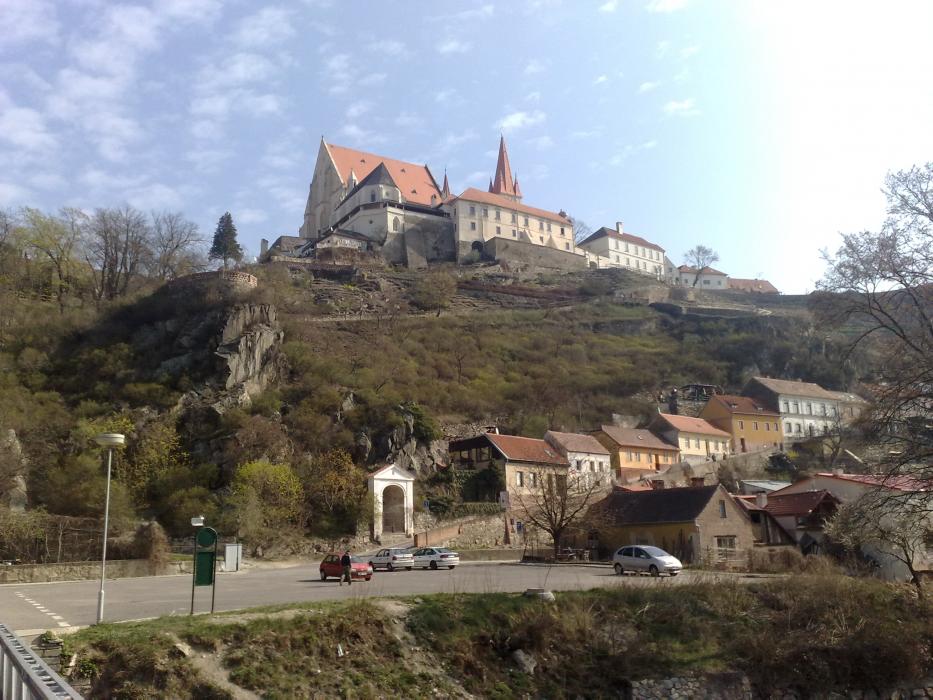
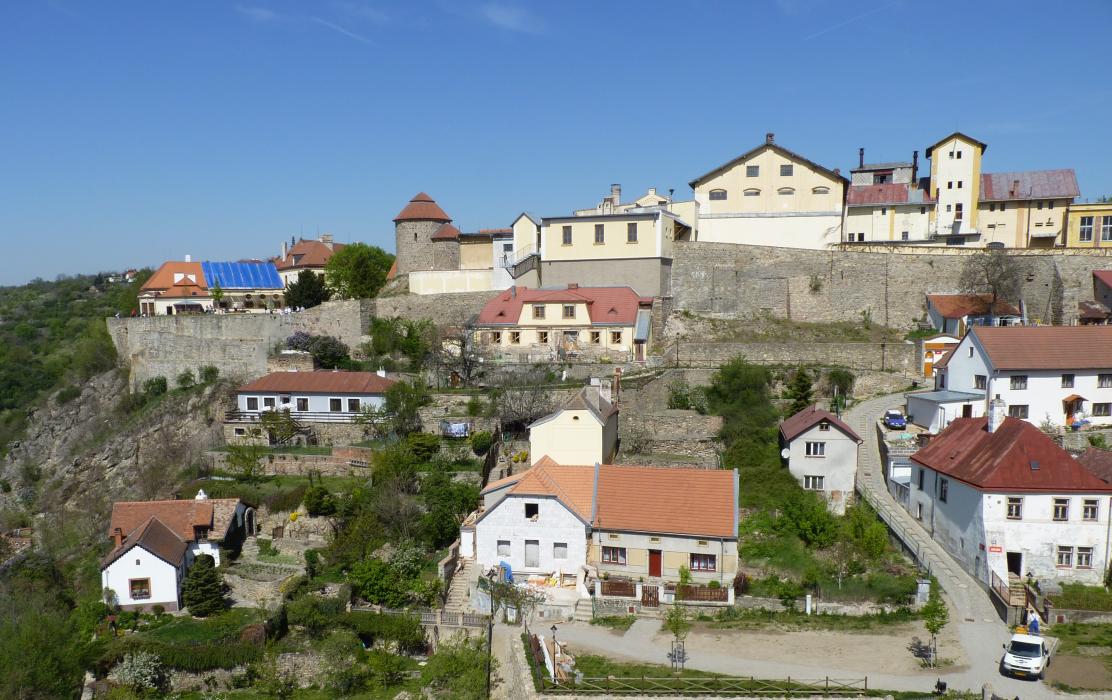
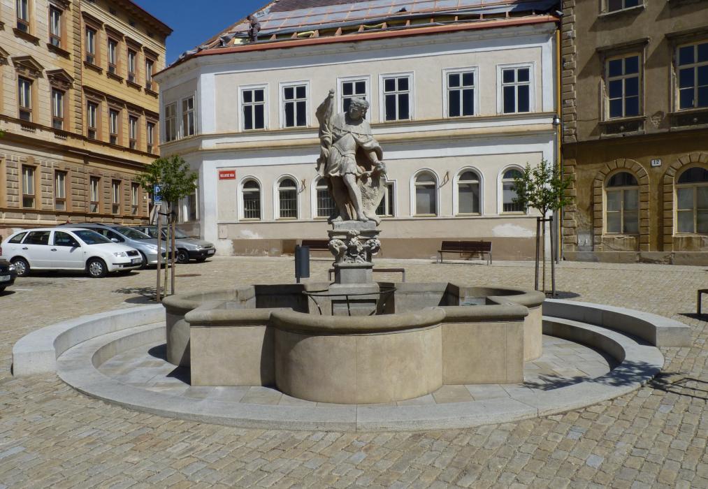
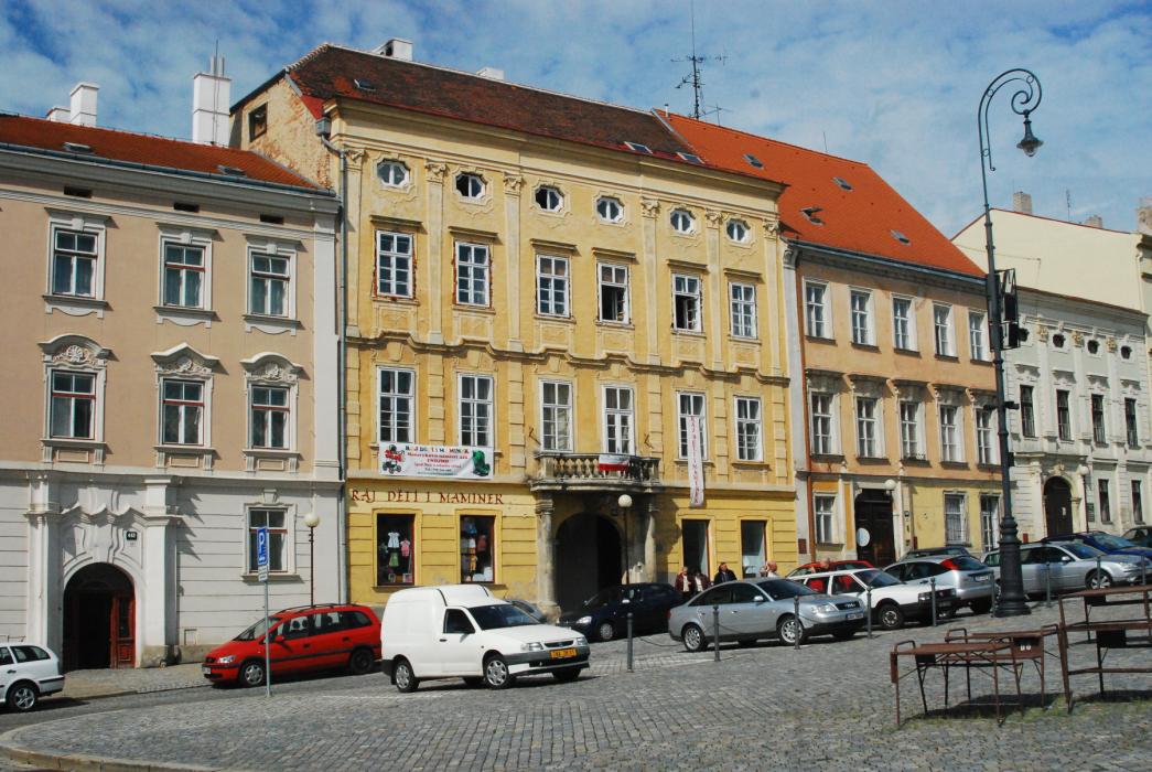
Gallery


Map and nearest places
| Longitude | Latitude |
|---|---|
| 48.8555555555556 | 16.016666666666698 |
| 48°51'0"N | 16°1'0"E |
| Nearest places | ||
|---|---|---|
 | Hardegg | 11.0km |
 | Vranov nad Dyj� | 15.6km |
 | Schrattenthal | 17.7km |
 | Seefeld-Kadolz | 19.0km |
 | Moravsk� Bud�jovice | 26.7km |
 | Eggenburg | 27.2km |
| Dobersberg Airport | 53.1km | |
| Krems Airport | 53.4km | |
| Brno-Turany Airport | 59.4km | |
| Vienna Schwechat International Airport | 92.4km | |
| Bad Voeslau | 100.6km | |
| Kunovice Airport | 105.7km | |
| John Paul II International Airport | 304.3km | |
| Tuuta Airport | 18,907.2km | |
Accomodation

Restaurants
Museums
Wineries
Breweries
Weblinks
Comments
You need to log in to add comment