


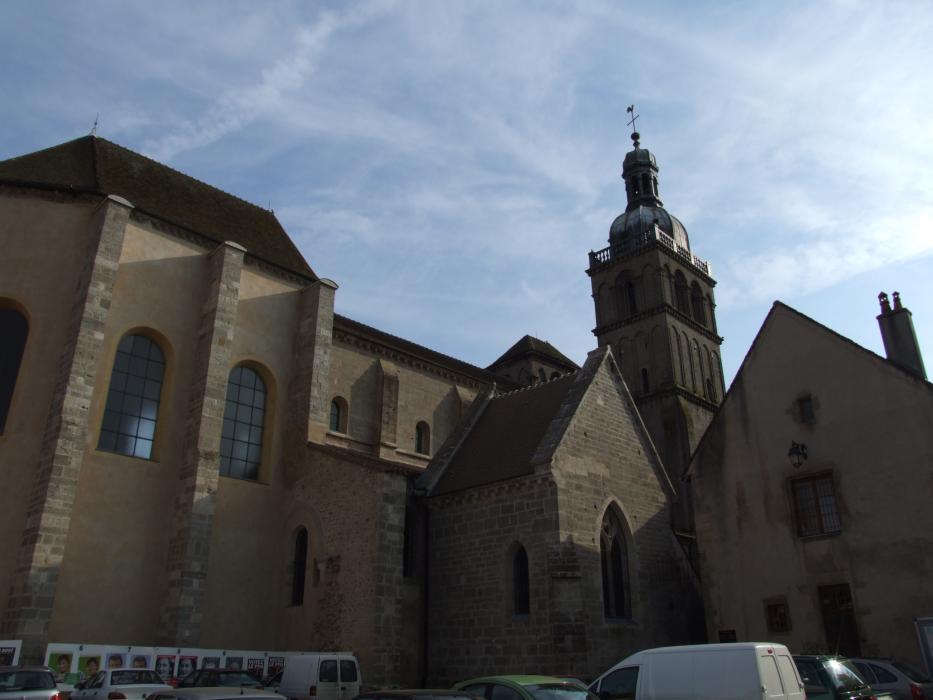
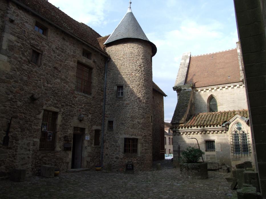
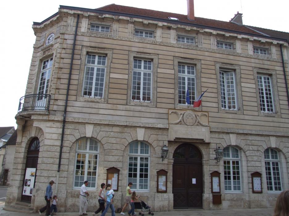
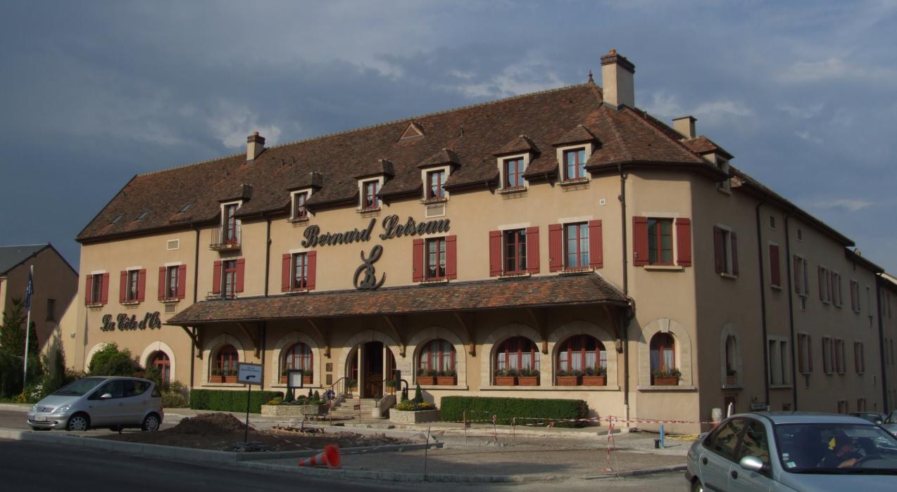


Map and nearest places
| Longitude | Latitude |
|---|---|
| 47.280833333333305 | 4.22944444444444 |
| 47°16'0"N | 4°13'0"E |
| Nearest places | ||
|---|---|---|
 | Pouilly-en-Auxois | 24.7km |
| Aérodrome de Autun - Bellevue | 32.5km | |
 | Avallon | 33.6km |
 | Flavigny-sur-Ozerain | 34.4km |
 | Montbard | 35.4km |
 | Autun | 37.0km |
 | Vezelay | 41.8km |
| Dijon Airport | 65.3km | |
| Chalon - Champforgeuil Airport | 67.2km | |
| Aérodrome de Auxerre - Branches | 83.5km | |
| Fourchambault Airport | 90.0km | |
| Dole-Tavaux Airport | 94.9km | |
| John Paul II International Airport | 1,181.2km | |
| Tuuta Airport | 19,625.5km | |
Weblinks
Comments
You need to log in to add comment