


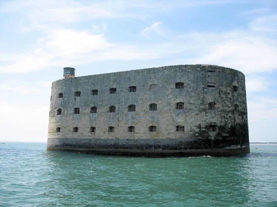
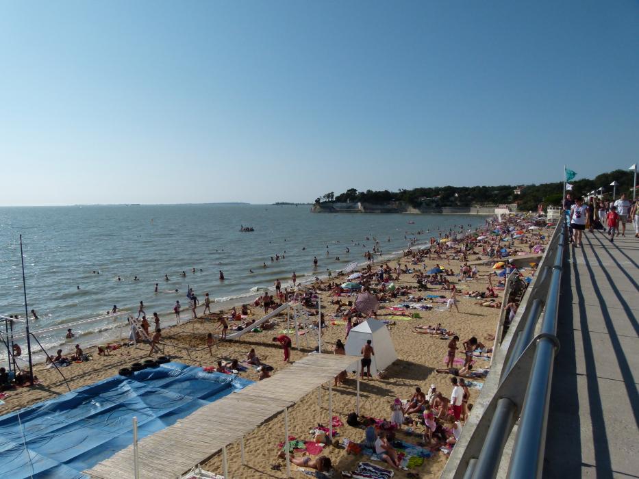
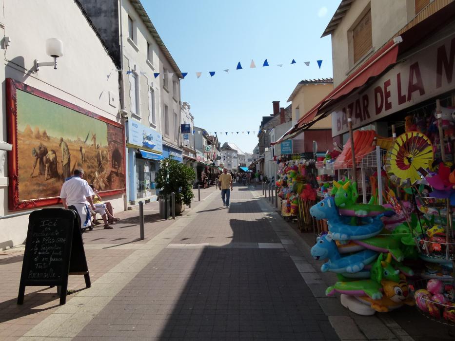
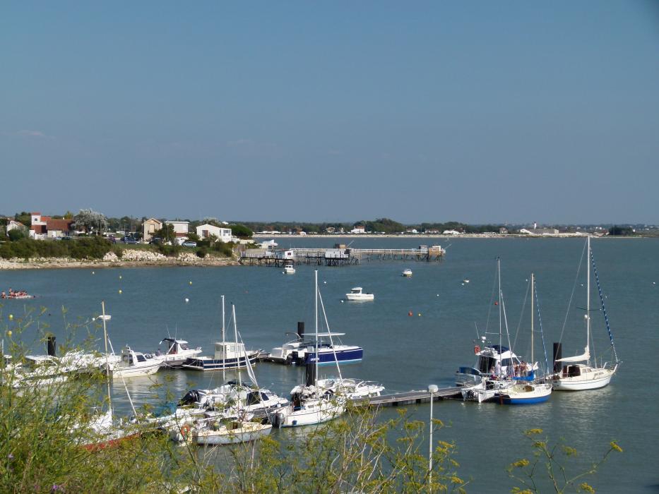
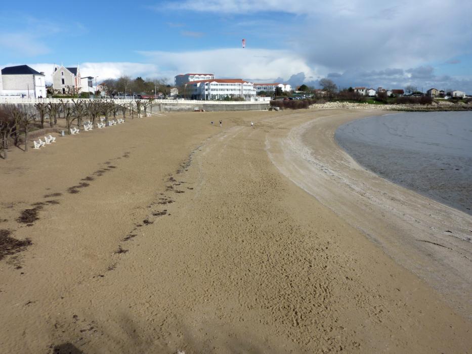
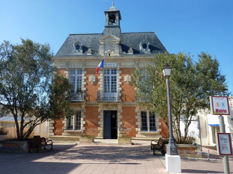
Gallery


Map and nearest places
| Longitude | Latitude |
|---|---|
| 45.987777777777794 | -1.0930555555555599 |
| 45°59'0"N | 1°5'0"W |
| Nearest places | ||
|---|---|---|
 | Ile d'Aix | 6.7km |
 | Chatelaillon-Plage | 9.6km |
 | Rochefort | 11.5km |
| St Agnant Airport | 13.9km | |
| Dolus d'Oleron | 15.4km | |
 | Saint-Trojan les Bains | 18.4km |
 | La Rochelle | 19.6km |
| La Rochelle - Ile de Re Airport | 22.7km | |
| Medis Airport | 40.7km | |
| Less Ajoncs Airport | 82.4km | |
| Angouleme - Brie - Champniers Airport | 105.6km | |
| Cholet - Le Pontreau Airport | 122.8km | |
| John Paul II International Airport | 1,611.6km | |
| Tuuta Airport | 19,577.1km | |
Restaurants
Weblinks
Comments
You need to log in to add comment