


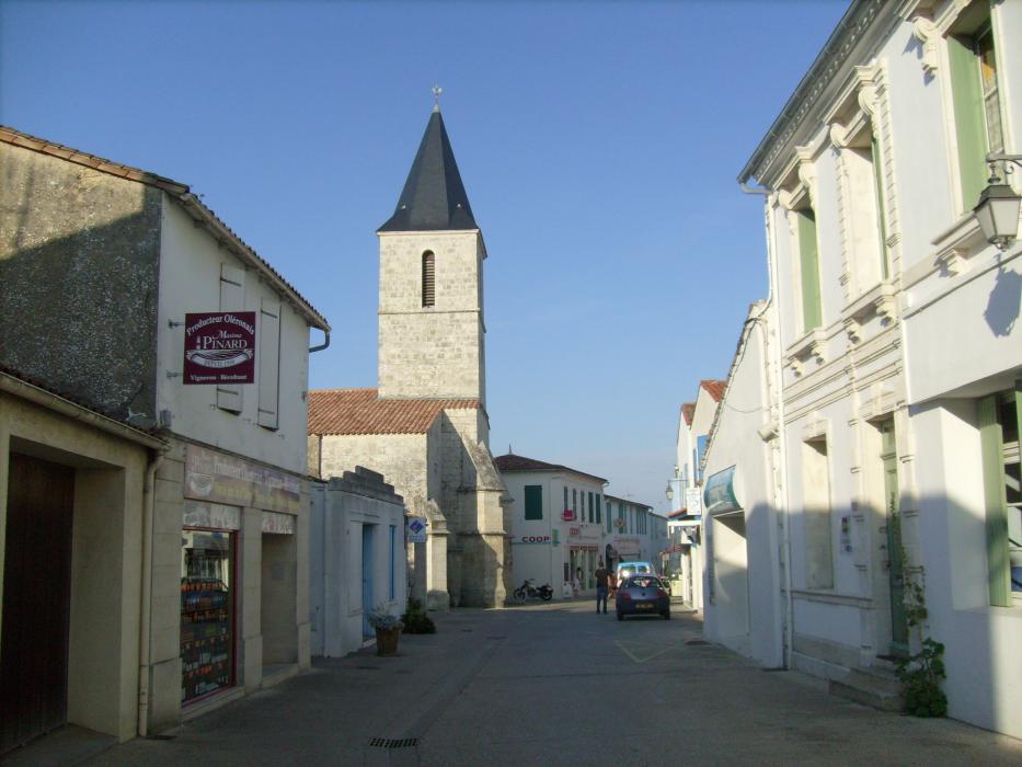
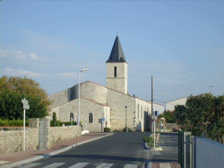
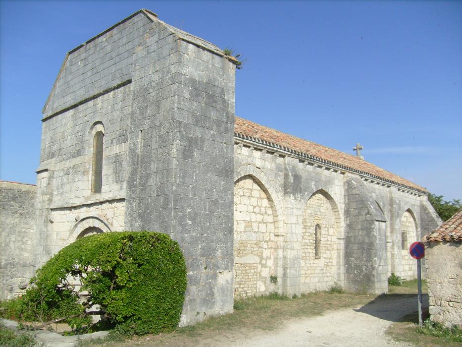
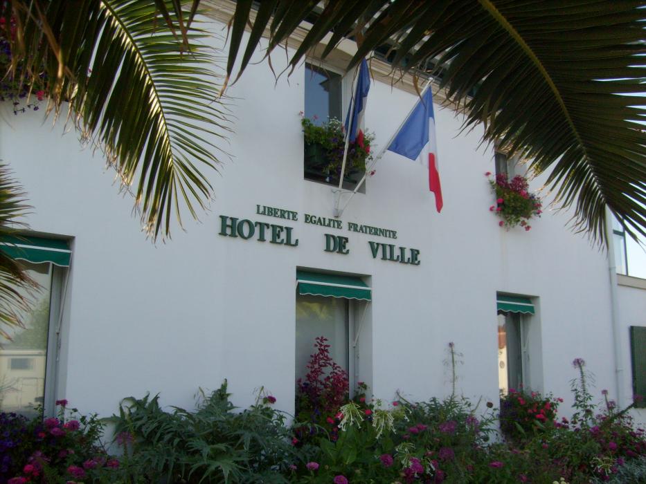


Map and nearest places
| Longitude | Latitude |
|---|---|
| 45.9119444444444 | -1.25972222222222 |
| 45°54'0"N | 1°15'0"W |
| Nearest places | ||
|---|---|---|
 | Saint-Trojan les Bains | 8.8km |
 | Ile d'Aix | 13.1km |
 | Fouras | 15.4km |
| Ronce-les-Bains | 18.3km | |
| St Agnant Airport | 21.6km | |
 | Chatelaillon-Plage | 22.5km |
| La Palmyre-Les Mathes | 23.3km | |
| La Rochelle - Ile de Re Airport | 30.1km | |
| Medis Airport | 38.2km | |
| Less Ajoncs Airport | 88.3km | |
| Angouleme - Brie - Champniers Airport | 116.4km | |
| Ile d'Yeu Aerodrome | 124.9km | |
| John Paul II International Airport | 1,626.8km | |
| Tuuta Airport | 19,570.3km | |
Weblinks
Comments
You need to log in to add comment