


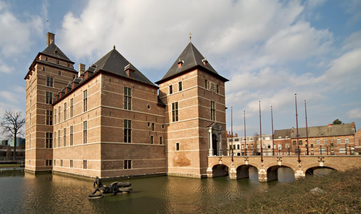
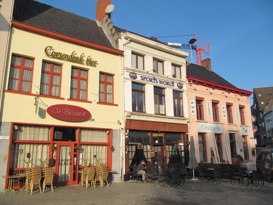
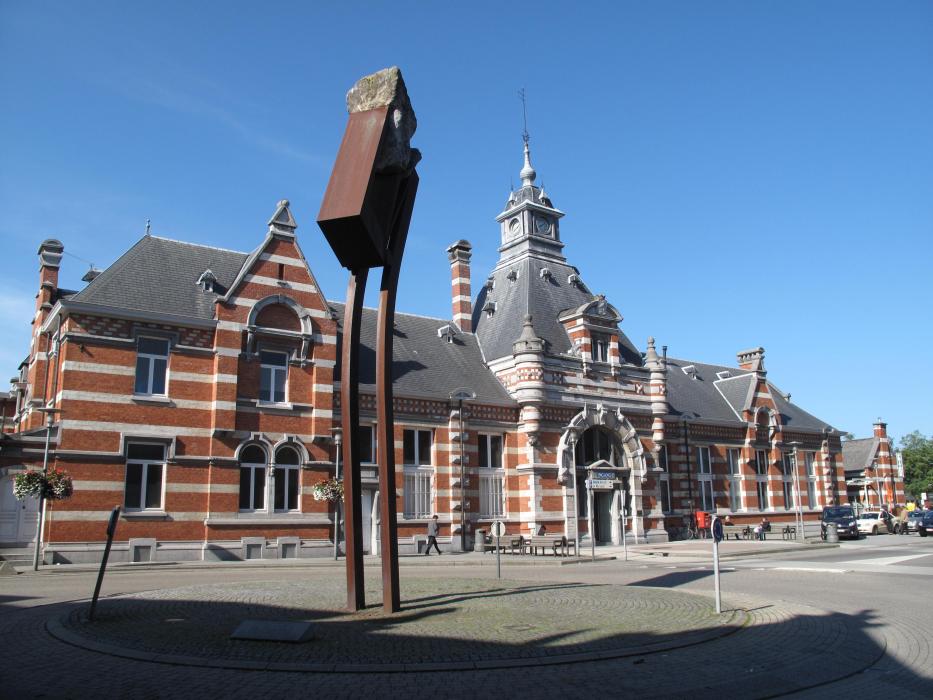
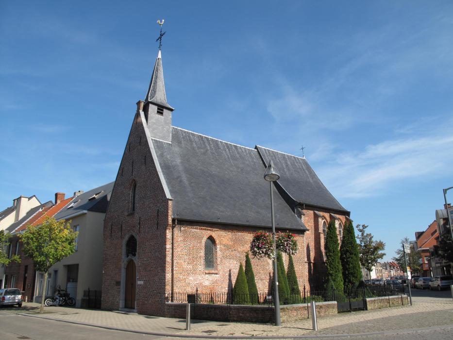
Gallery


Map and nearest places
| Longitude | Latitude |
|---|---|
| 51.3166666666667 | 4.95 |
| 51°19'0"N | 4°57'0"E |
| Nearest places | ||
|---|---|---|
 | Hoogstraten | 15.7km |
 | Herentals | 16.9km |
 | Geel | 17.4km |
 | Malle | 17.8km |
| Hilversum Airport | 19.5km | |
 | Brecht | 22.5km |
 | Westerlo | 26.0km |
| Eindhoven Airport | 32.8km | |
| Antwerp International Airport | 36.9km | |
| Kempen Airport | 45.8km | |
| Brussels International Airport | 55.8km | |
| Maastricht Aachen Airport | 72.9km | |
| John Paul II International Airport | 1,052.0km | |
| Tuuta Airport | 19,173.8km | |
Accomodation

Museums
Weblinks
Comments
You need to log in to add comment