


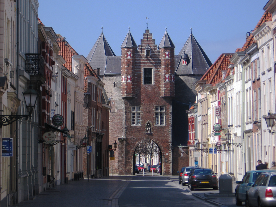
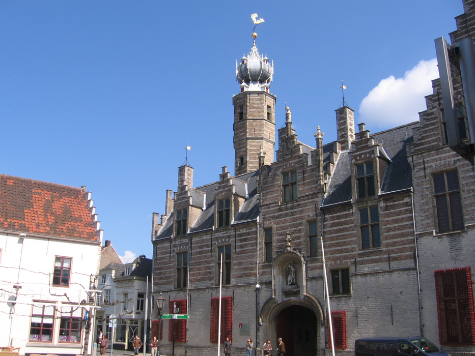
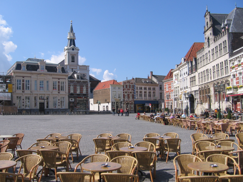
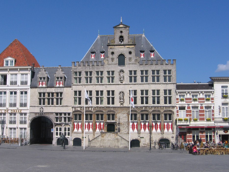
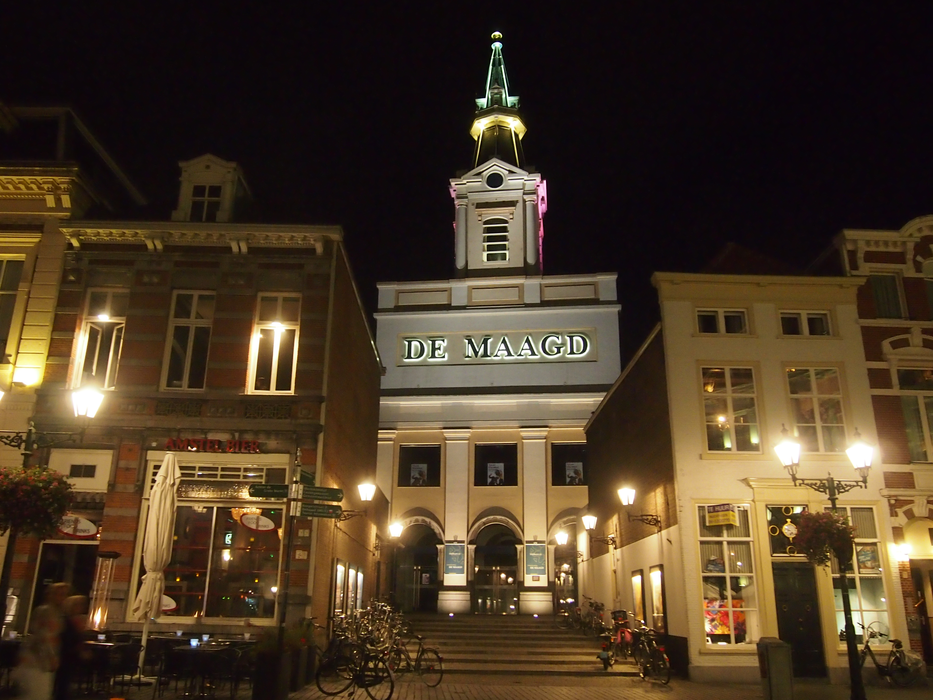
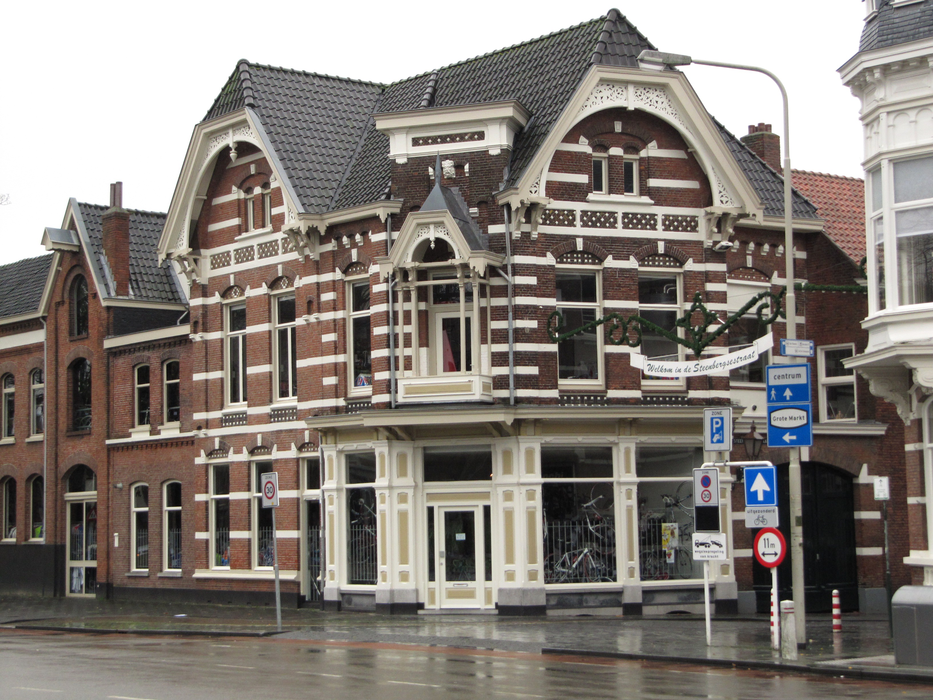
Gallery


Map and nearest places
| Longitude | Latitude |
|---|---|
| 51.5 | 4.3 |
| 51°30'0"N | 4°17'0"E |
| Nearest places | ||
|---|---|---|
 | Tholen | 6.9km |
| Roosendaal | 11.0km | |
_wapen1.svg_2051364470_16.png) | Essen | 12.1km |
| Hoeven | 21.2km | |
 | Brasschaat | 27.2km |
 | Goes | 28.8km |
| Antwerp International Airport | 36.3km | |
| Rotterdam Airport | 51.7km | |
| Brussels International Airport | 67.1km | |
| Hilversum Airport | 68.1km | |
| Eindhoven Airport | 75.4km | |
| Kempen Airport | 94.3km | |
| John Paul II International Airport | 1,097.8km | |
| Tuuta Airport | 19,158.1km | |
Restaurants
Breweries
Weblinks
Comments
You need to log in to add comment