


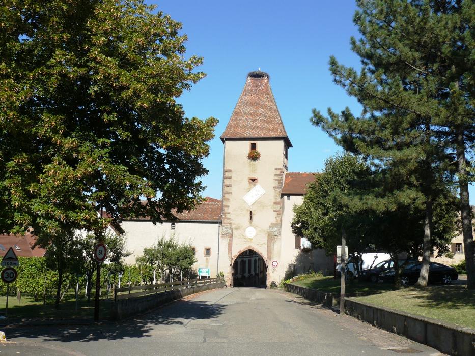
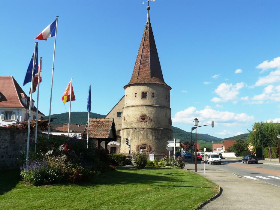
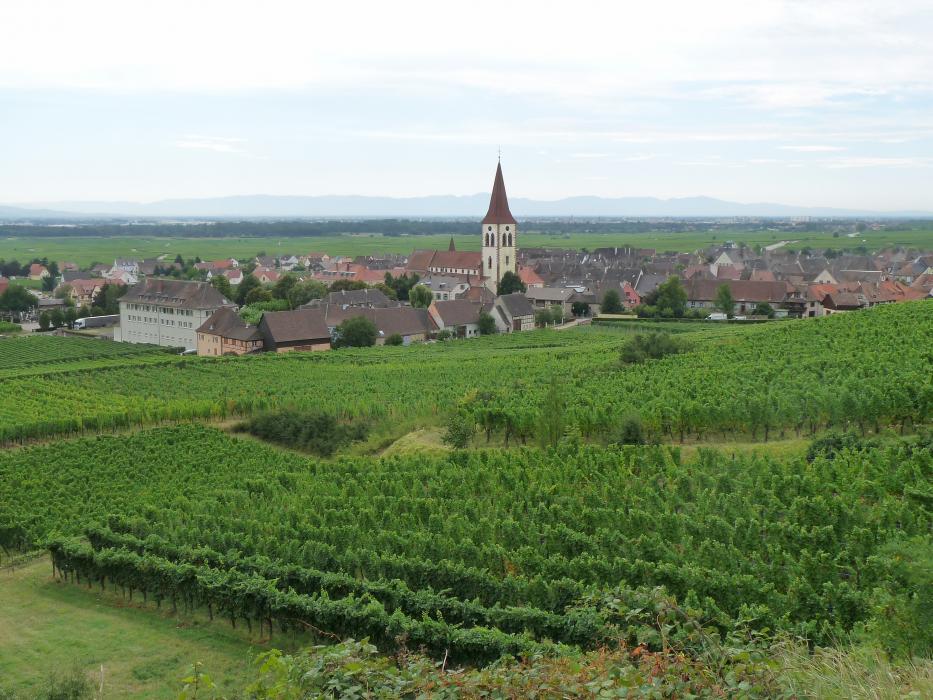
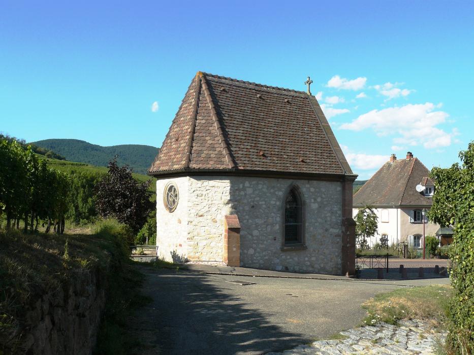
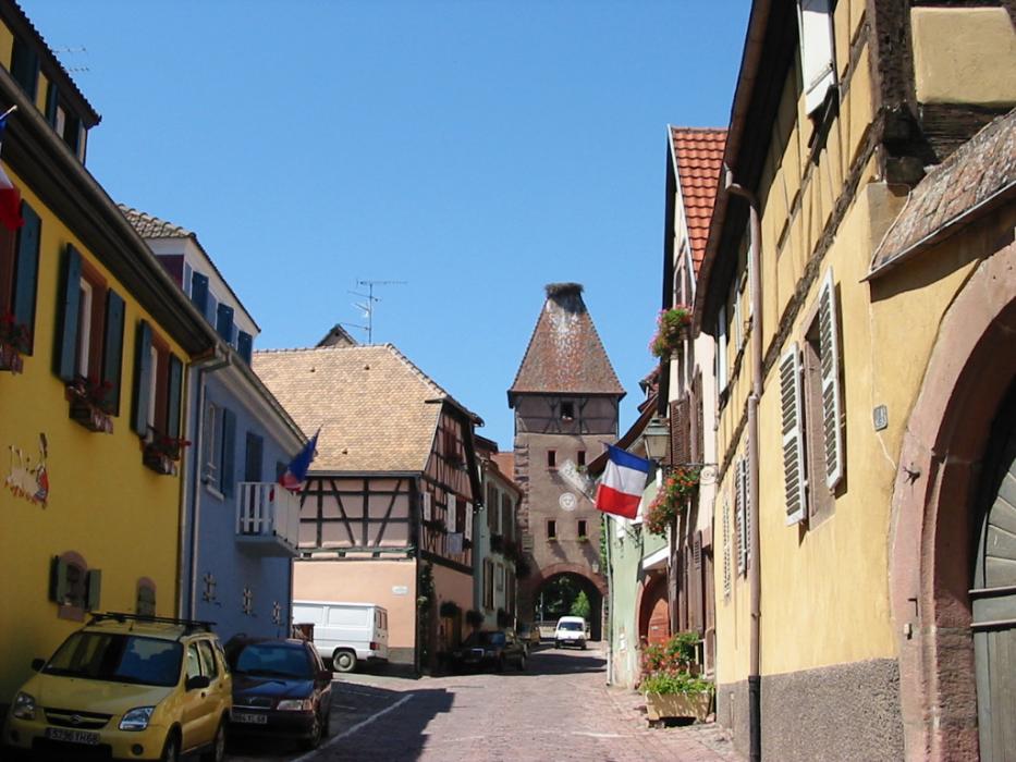
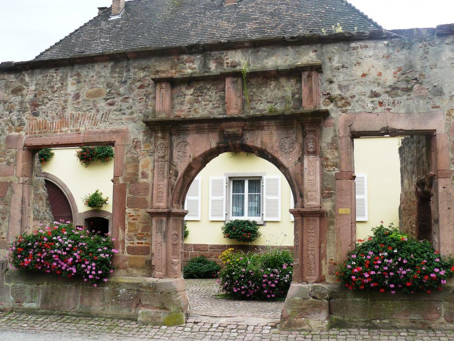
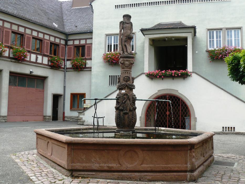
Gallery


Map and nearest places
| Longitude | Latitude |
|---|---|
| 48.1261111111111 | 7.2825 |
| 48°7'0"N | 7°16'0"E |
| Nearest places | ||
|---|---|---|
 | Kaysersberg | 2.2km |
 | Beblenheim | 4.6km |
 | Riquewihr | 4.7km |
 | Zellenberg | 5.8km |
| Colmar Airport | 6.0km | |
 | Hunawihr | 6.5km |
 | Colmar | 7.9km |
| Lahr - Black Forest Airport | 48.6km | |
| Epinal - Mirecourt Airport | 50.7km | |
| Strasbourg Airport | 53.3km | |
| Belfort Airport | 56.1km | |
| Offenburg Airport | 59.6km | |
| John Paul II International Airport | 934.5km | |
| Tuuta Airport | 19,455.0km | |
Accomodation
Restaurants
Weblinks
Comments
You need to log in to add comment