


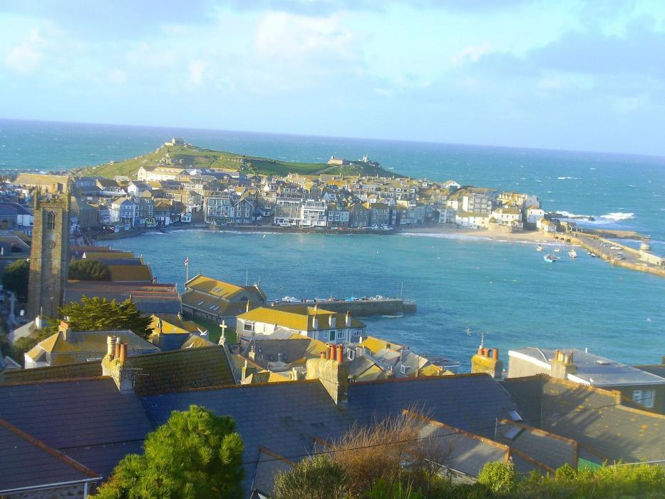
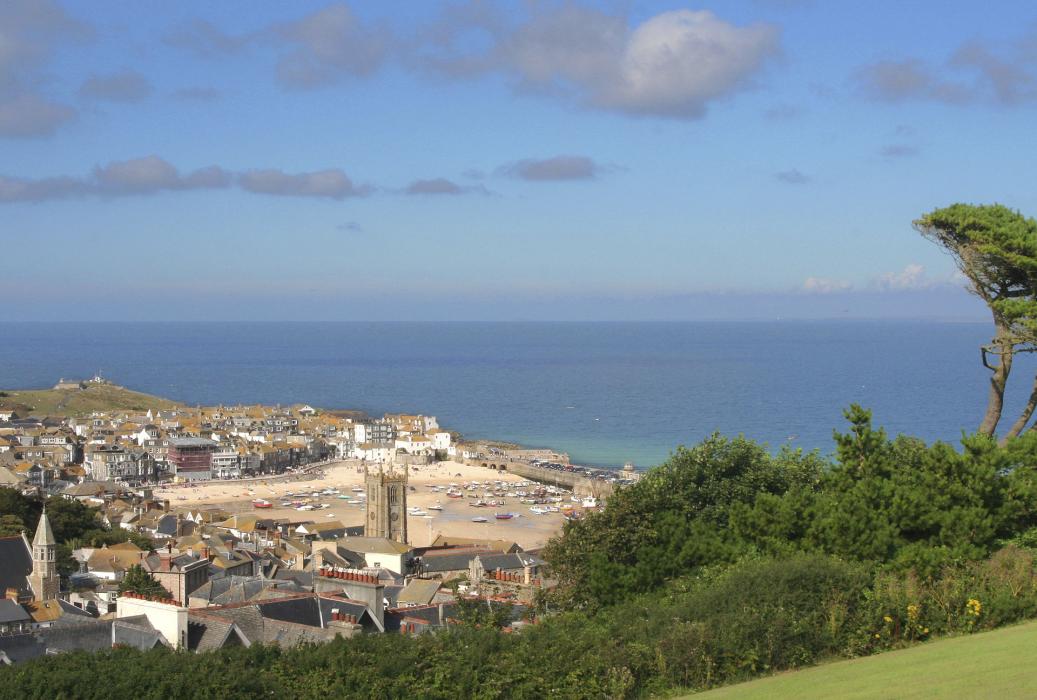
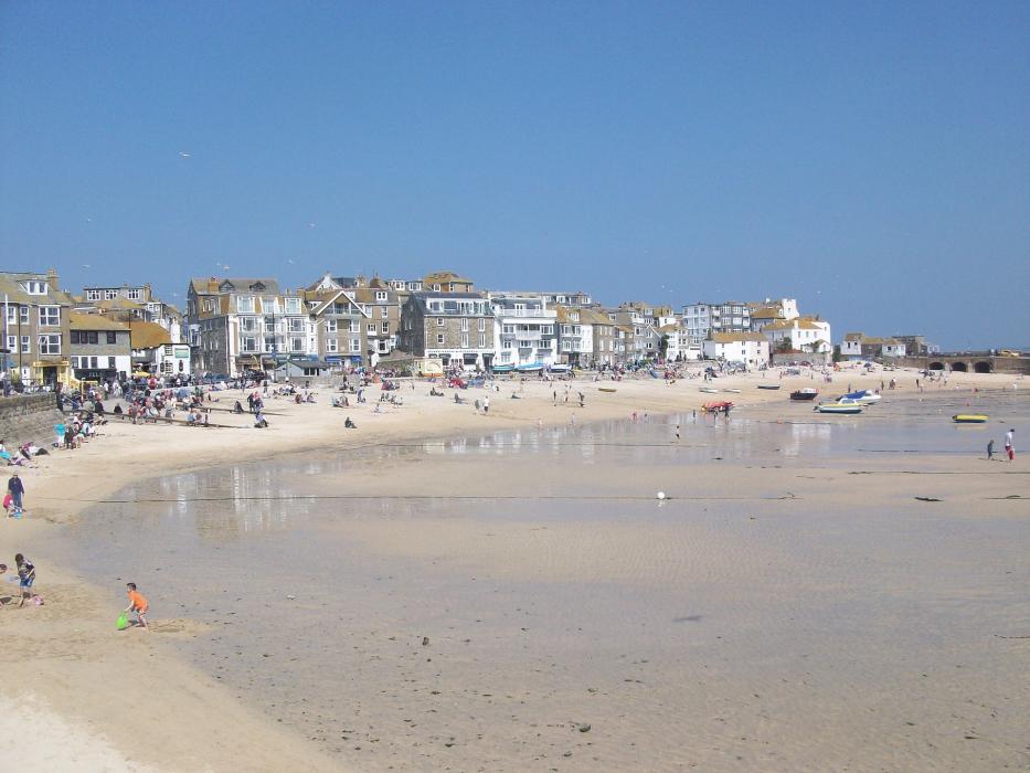


Map and nearest places
| Longitude | Latitude |
|---|---|
| 50.210833333333305 | -5.48027777777778 |
| 50°12'0"N | 5°28'0"W |
| Nearest places | ||
|---|---|---|
| Marazion | 9.1km | |
| Penzance Heliport | 9.6km | |
| Penzance | 14.5km | |
| Mousehole | 14.8km | |
| St Just | 17.0km | |
| Redruth | 17.7km | |
| Land's End Airport | 18.1km | |
| Helston | 19.4km | |
| Perranporth Airfield | 25.4km | |
| Predannack Airfield | 29.5km | |
| Newquay Cornwall International Airport | 42.9km | |
| St. Mary's Airport | 66.7km | |
| John Paul II International Airport | 1,791.8km | |
| Dunedin International Airport | 19,440.9km | |
Accomodation

Restaurants
Golfs club
Breweries
Weblinks
Comments
You need to log in to add comment