


Gallery
_1450314394_700.jpg)


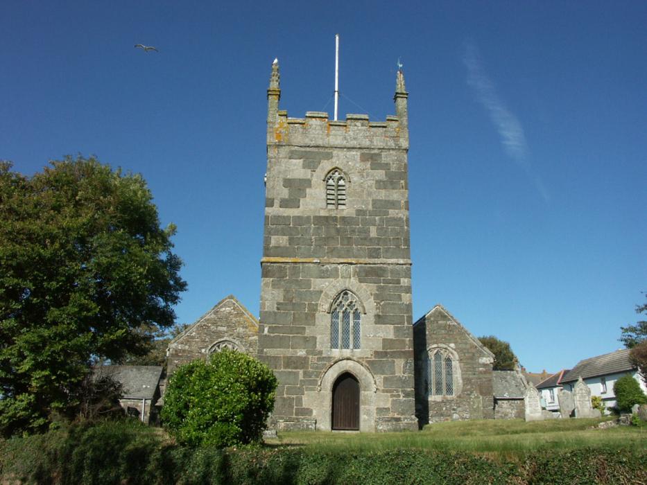
Map and nearest places
| Longitude | Latitude |
|---|---|
| 50.0269444444444 | -5.241111111111111 |
| 50°1'0"N | 5°14'0"W |
| Nearest places | ||
|---|---|---|
| Predannack Airfield | 3.2km | |
| Lizard | 7.3km | |
| Helston | 8.4km | |
| Coverack | 10.1km | |
| Falmouth | 18.3km | |
| Marazion | 20.7km | |
| Mousehole | 22.2km | |
| Penzance Heliport | 22.8km | |
| Land's End Airport | 31.8km | |
| Perranporth Airfield | 34.2km | |
| Newquay Cornwall International Airport | 49.2km | |
| St. Mary's Airport | 76.2km | |
| John Paul II International Airport | 1,778.4km | |
| Dunedin International Airport | 19,447.0km | |
Accomodation
Restaurants
Golfs club
Airports
Weblinks
Comments
You need to log in to add comment