


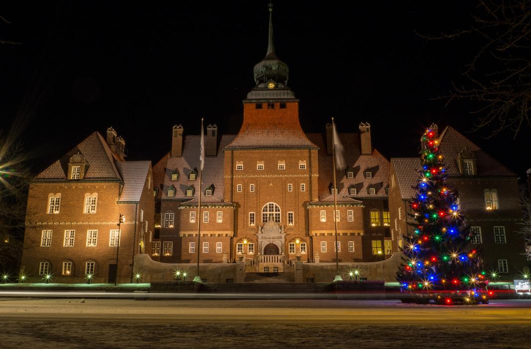
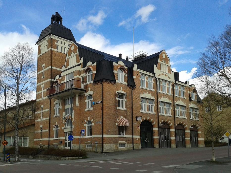
Gallery


Map and nearest places
| Longitude | Latitude |
|---|---|
| 63.1833333333333 | 14.666666666666698 |
| 63°10'0"N | 14°40'0"E |
| Nearest places | ||
|---|---|---|
| Ostersund Airport | 8.3km | |
| Åre | 82.7km | |
| Hammarstrand | 85.1km | |
| Strömsund | 87.0km | |
| Duved | 93.1km | |
| Sveg Airport | 126.9km | |
 | Sveg | 128.9km |
| Sollefteå | 130.5km | |
| Kramfors-Solleftea Airport | 156.7km | |
| Sundsvall-Harnosand Airport | 158.5km | |
| Roros Airport | 181.4km | |
| Vilhelmina Airport | 187.9km | |
| John Paul II International Airport | 1,489.4km | |
| Tuuta Airport | 17,746.3km | |

Restaurants
Spirits Distillery
Breweries
Airports

Weblinks
Comments
You need to log in to add comment