


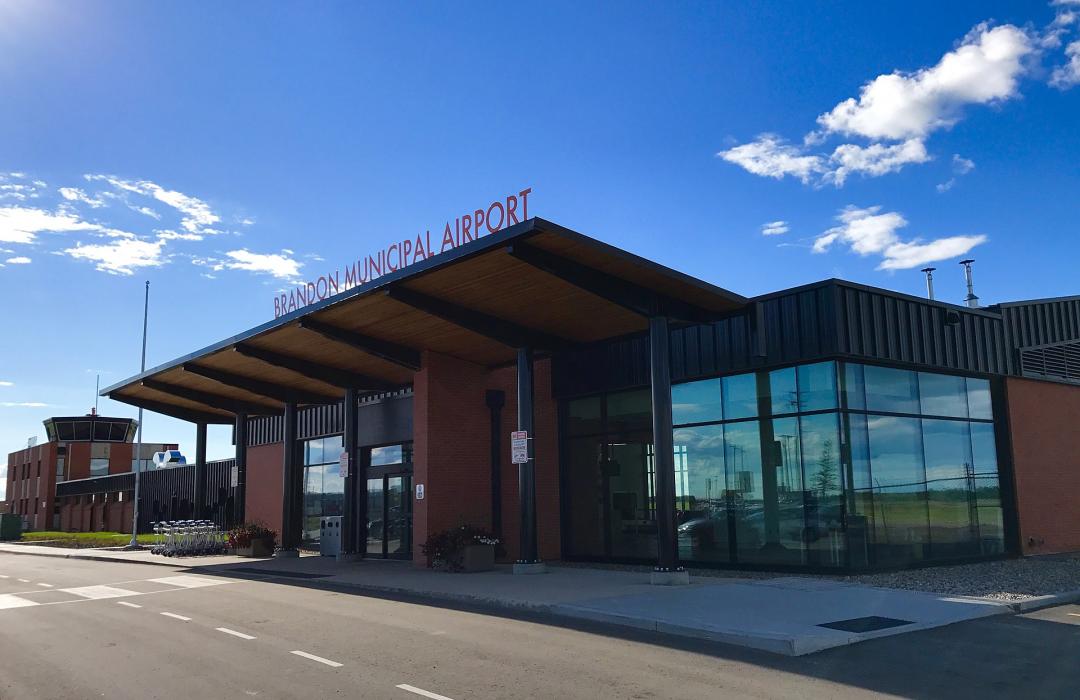
Gallery


Map and nearest places
| Longitude | Latitude |
|---|---|
| 49.91 | -99.95194444444449 |
| 49°54'0"N | 99°57'0"W |
| Nearest places | ||
|---|---|---|
 | Brandon | 8.5km |
| Erickson | 65.5km | |
| Erickson Municipal Airport | 65.7km | |
| Boissevain | 75.9km | |
| International Peace Garden Airport | 101.6km | |
| Rolla Municipal Airport | 116.5km | |
| Rolla | 119.3km | |
| Dunseith | 122.2km | |
| Bottineau Municipal Airport | 124.7km | |
| Bottineau | 125.0km | |
| Lt. Col W.G. (Billy) Barker VC Airport | 132.6km | |
| Cando Municipal Airport | 167.3km | |
| John Paul II International Airport | 7,512.3km | |
| Busselton Regional Airport | 16,621.2km | |
General informations
| Airport type | Regional airport |
| ICAO | CYBR |
| IATA | YBR |
| Elevation | 1,343 ft / 409 m MSL |
| World Pax Ranking 2016 | #1847 |
| World Pax Ranking 2010 | #2323 |
| Year | Pax |
|---|---|
| 2016 | 58406 |
| 2010 | 0 |
| 2009 | 0 |
| 2008 | 0 |
| 2007 | 0 |
| 2006 | 0 |
| 2005 | 0 |
| 2004 | 0 |
| 2003 | 0 |
Weblinks
Comments
You need to log in to add comment