


_1338502447_700.jpg)
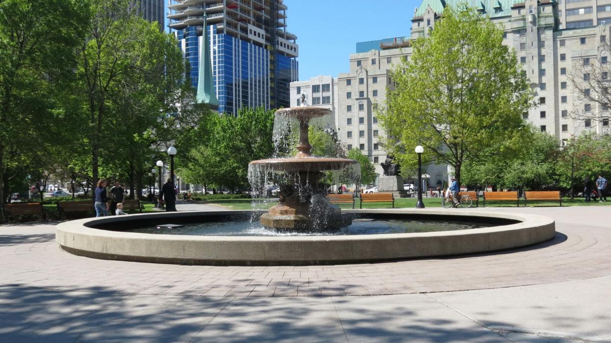
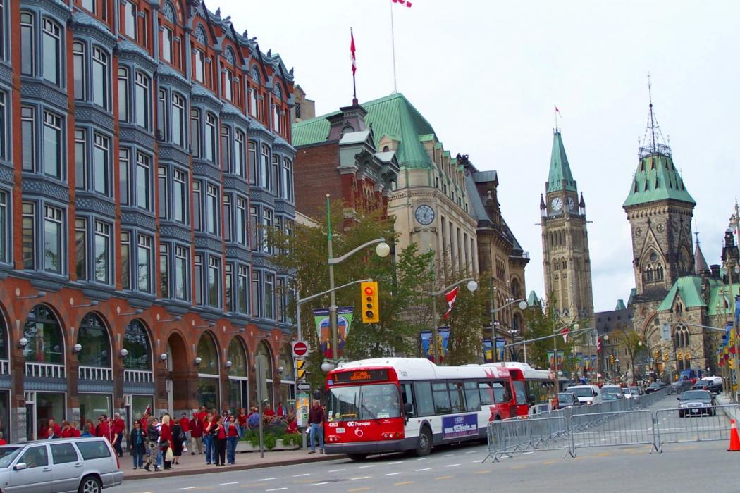
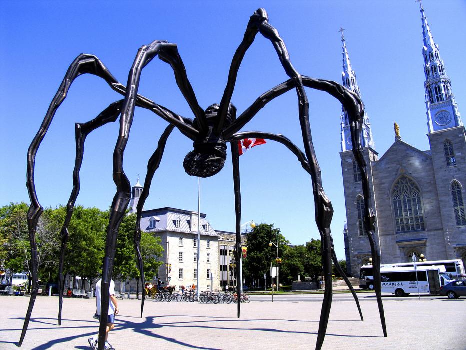
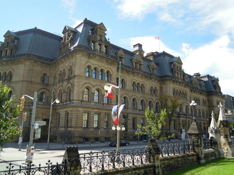


Map and nearest places
| Longitude | Latitude |
|---|---|
| 45.416667 | -75.683333 |
| 45°25'0"N | 75°40'0"W |
| Nearest places | ||
|---|---|---|
| Ottawa International Airport | 10.5km | |
| Gatineau-Ottawa Executive Airport | 14.9km | |
| Ottawa/Carp Airport | 28.5km | |
| Embrun | 35.0km | |
| Casselman | 48.6km | |
| Arnprior Airport | 53.3km | |
| Arnprior | 53.3km | |
| Smiths Falls-Montague Airport | 56.1km | |
| Smiths Falls | 63.1km | |
| Perth | 72.6km | |
| Ogdensburg | 81.2km | |
| Ogdensburg International Airport | 83.5km | |
| John Paul II International Airport | 6,647.4km | |
| Busselton Regional Airport | 18,405.5km | |
Accomodation
Restaurants
Golfs club
Spirits Distillery
Weblinks
Comments
You need to log in to add comment