


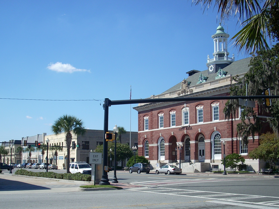
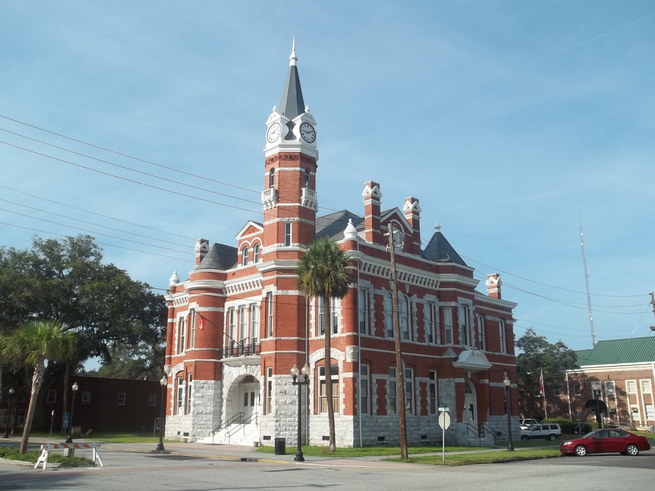
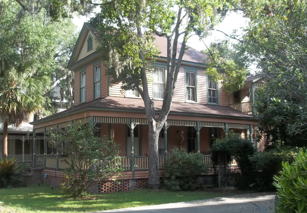
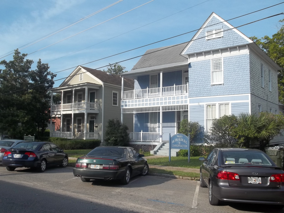
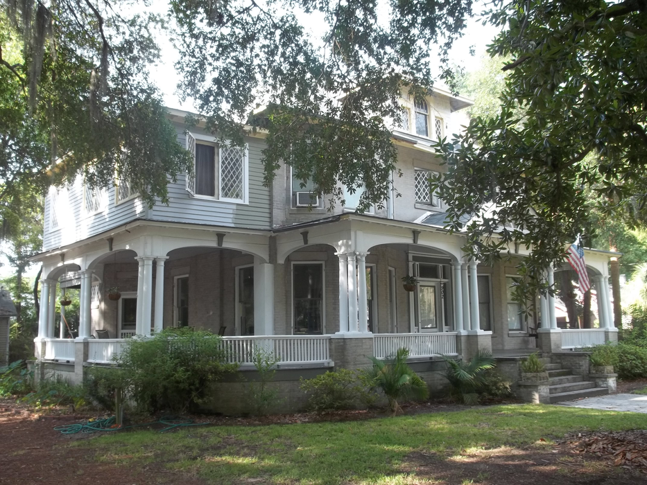
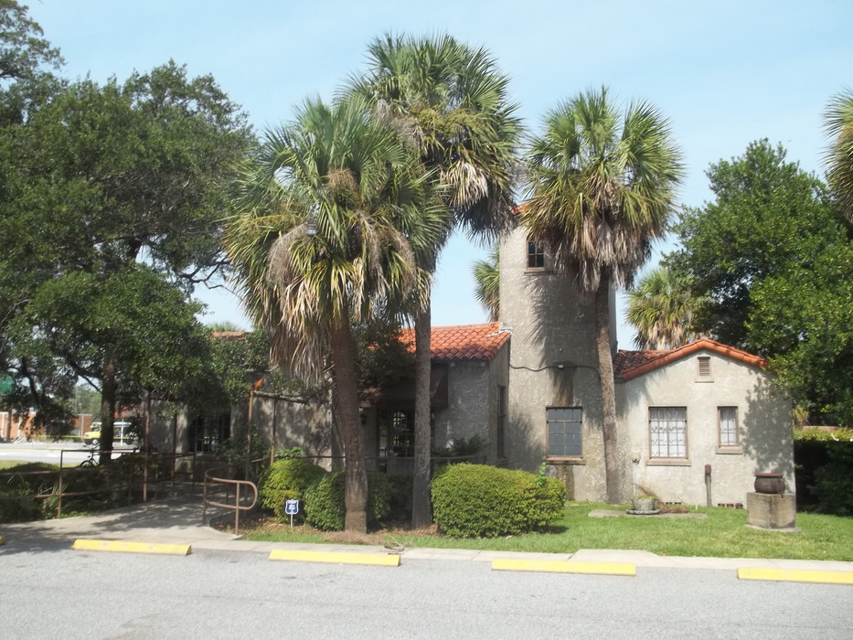
Gallery


Map and nearest places
| Longitude | Latitude |
|---|---|
| 31.158888888888903 | -81.4891666666667 |
| 31°9'0"N | 81°29'0"W |
| Nearest places | ||
|---|---|---|
| Jekyll Island Airport | 11.1km | |
| Brunswick Golden Isles Airport | 11.3km | |
| Jekyll Island | 11.9km | |
| Fernandina Beach | 54.5km | |
| Jesup-Wayne County Airport | 57.7km | |
| Yulee | 59.3km | |
| Jesup | 62.0km | |
| Jacksonville International Airport | 76.3km | |
| Waycross | 82.6km | |
| Waycross-Ware County Airport | 86.8km | |
| Craig Municipal Airport | 91.5km | |
 | Jacksonville | 94.8km |
| John Paul II International Airport | 8,136.7km | |
| Kalbarri Airport | 18,443.4km | |
Accomodation
Restaurants
Golfs club
Breweries
Airports

Weblinks
Comments
You need to log in to add comment