


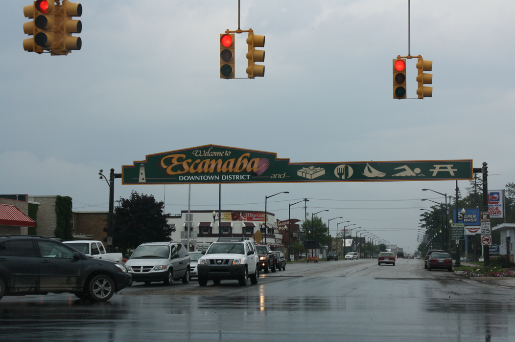


Map and nearest places
| Longitude | Latitude |
|---|---|
| 45.745277777777794 | -87.06444444444439 |
| 45°44'0"N | 87°3'0"W |
| Nearest places | ||
|---|---|---|
| Delta County Airport | 3.4km | |
| Gwinn | 66.3km | |
| Fish Creek | 70.1km | |
| Sawyer International Airport | 72.3km | |
| Baileys Harbor | 75.8km | |
| Iron Mountain | 78.0km | |
| Egg Harbor | 79.5km | |
| Ford Airport | 81.8km | |
| Menominee | 82.9km | |
| Door County Cherryland Airport | 104.1km | |
| Beaver Island Airport | 116.4km | |
| J. Douglas Bake Memorial Airport | 117.3km | |
| John Paul II International Airport | 7,249.6km | |
| Busselton Regional Airport | 17,685.9km | |
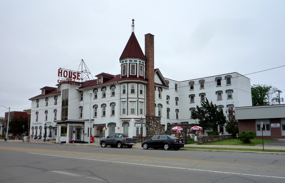
Accomodation
Restaurants
Museums
Golfs club
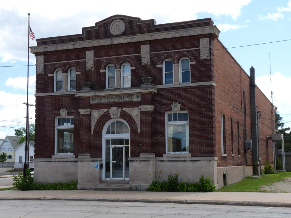
Breweries
Airports
Weblinks
Comments
You need to log in to add comment