


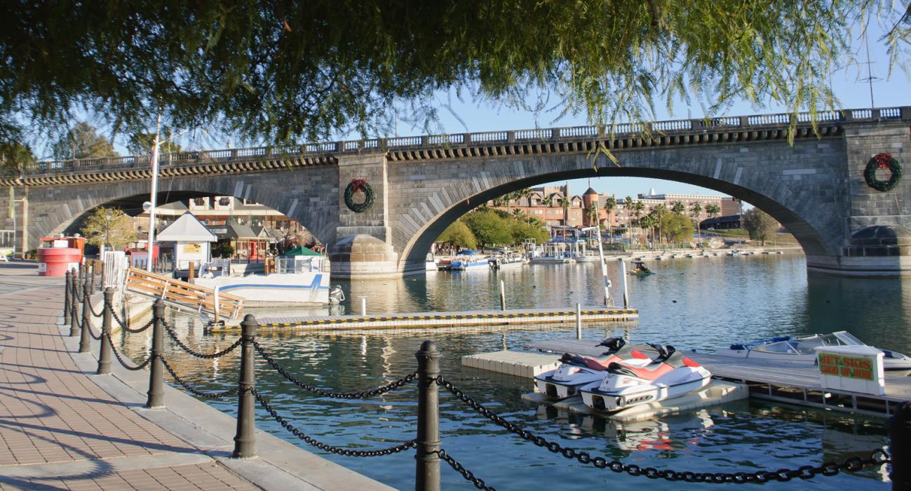


Map and nearest places
| Longitude | Latitude |
|---|---|
| 34.49 | -114.308889 |
| 34°29'0"N | 114°18'0"W |
| Nearest places | ||
|---|---|---|
| Lake Havasu City Airport | 10.1km | |
| Chemehuevi Valley Airport | 12.1km | |
| Needles Airport | 42.1km | |
| Needles | 47.6km | |
 | Bullhead City | 74.1km |
| Laughlin/Bullhead International Airport | 77.7km | |
| Laughlin/Bulhead | 77.8km | |
 | Kingman | 83.9km |
| Kingman Airport | 92.0km | |
| Blythe | 100.3km | |
| Blythe Airport | 103.9km | |
| Peach Springs | 141.4km | |
| John Paul II International Airport | 9,585.4km | |
| Sir Gaëtan Duval Airport | 18,360.9km | |
Airports
Weblinks
Comments
You need to log in to add comment