


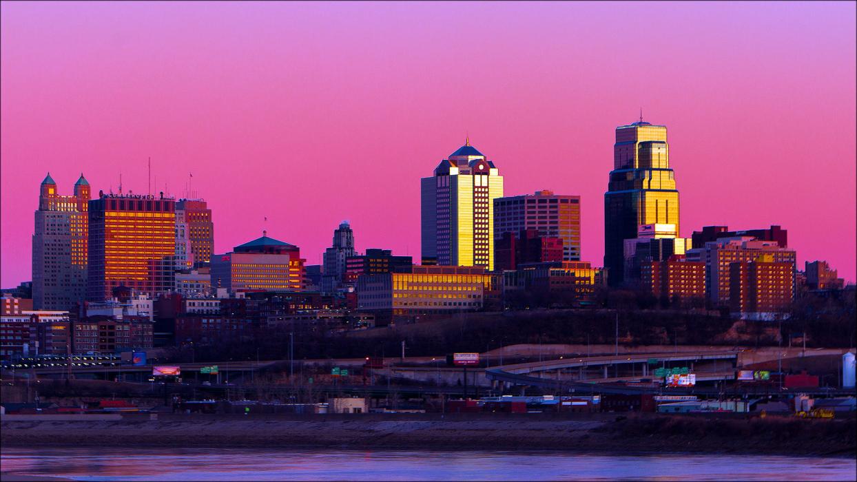
Gallery
_188542148_700.jpg)


Map and nearest places
| Longitude | Latitude |
|---|---|
| 39.090278 | -94.583611 |
| 39°5'0"N | 94°35'0"W |
| Nearest places | ||
|---|---|---|
| Charles B. Wheeler Downtown Airport | 3.8km | |
| Parkville | 14.5km | |
| Independence | 15.3km | |
| Lee's Summit Municipal Airport | 23.4km | |
| Kansas City International Airport | 25.6km | |
| Lee Summit | 26.0km | |
| Olathe | 30.0km | |
| Johnson County Executive Airport | 30.1km | |
| Lansing | 31.9km | |
| Platte City | 34.4km | |
| New Century AirCenter | 39.2km | |
| Lawrence Municipal Airport | 55.3km | |
| John Paul II International Airport | 8,212.4km | |
| Busselton Regional Airport | 17,278.6km | |
Accomodation
Museums
Golfs club
Wineries
Spirits Distillery
Breweries
Airports
Weblinks
Comments
You need to log in to add comment