


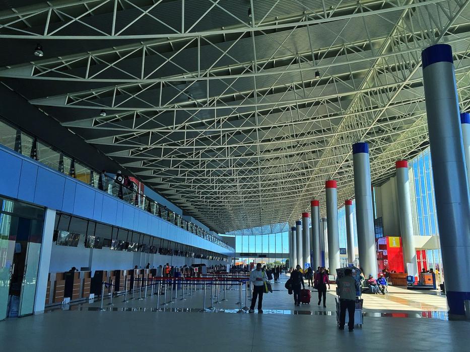
Gallery


Map and nearest places
| Longitude | Latitude |
|---|---|
| -16.5133333333333 | -68.1922222222222 |
| 16°30'0"S | 68°11'0"W |
| Nearest places | ||
|---|---|---|
 | La Paz | 4.7km |
| Coroico | 61.2km | |
| Copacabana Airport | 102.3km | |
| Copacabana | 102.6km | |
 | Oruro | 197.9km |
| Juan Mendoza Airport | 200.0km | |
| Ventilla Airport | 213.7km | |
 | Puno | 225.9km |
| Juliaca | 236.1km | |
| Jorge Wilstermann International Airport | 236.9km | |
| Inca Manco Capac International Airport | 240.2km | |
| Rurrenabaque Airport | 243.6km | |
| John Paul II International Airport | 11,266.1km | |
| Sanya Phoenix International Airport | 19,692.3km | |
General informations
| Airport type | Regional airport |
| ICAO | SLLP |
| IATA | LBP |
| Elevation | 13,355 ft / 4,071 m MS |
| World Pax Ranking 2015 | #468(+28) |
| World Pax Ranking 2014 | #496(+18) |
| World Pax Ranking 2013 | #514 |
| Year | Pax |
|---|---|
| 2015 | 2296324 |
| 2014 | 2048704 |
| 2013 | 1793776 |
| 2008 | 952000 |
| 2007 | 940226 |
| 2006 | 940494 |
| 2005 | 840794 |
| 2004 | 849384 |
| 2003 | 756428 |
| 2002 | 700262 |
| 2001 | 679918 |
Weblinks
Comments
You need to log in to add comment