


_552259760_700.jpg)
_07_1670635043_700.jpg)


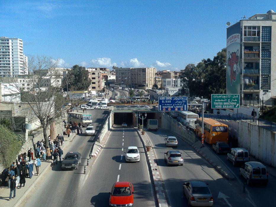
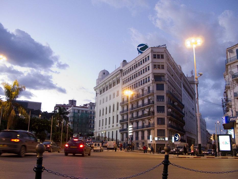
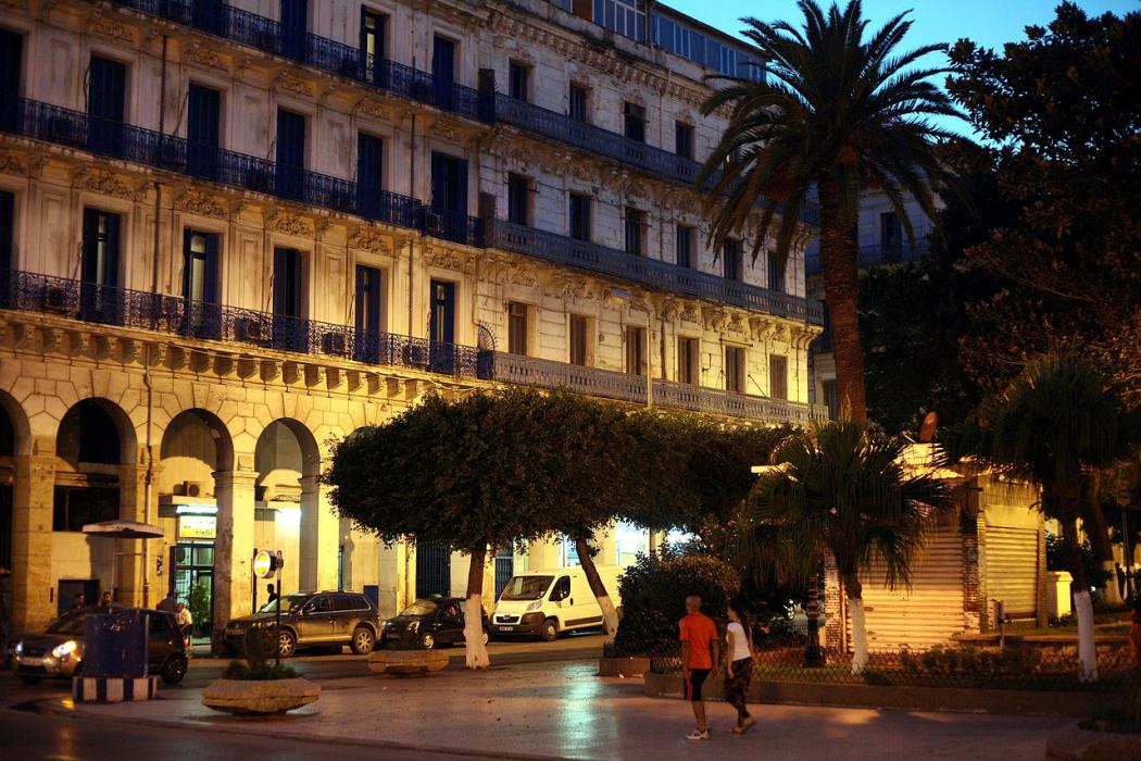
Map and nearest places
| Longitude | Latitude |
|---|---|
| 36.783333 | 3.066667 |
| 36°46'0"N | 3°4'0"E |
| Nearest places | ||
|---|---|---|
| Algiers-Houari Boumedienne Airport | 16.7km | |
| Blida Airport | 38.4km | |
 | Blida | 41.7km |
| Chlef International Airport | 167.6km | |
 | Chlef | 169.5km |
 | Bejaia | 178.2km |
| Soummam Airport | 178.7km | |
| Ain Eddis Airport | 191.1km | |
 | Bou Saada | 200.8km |
| Ain Arnat Airport | 209.8km | |
 | Setif | 219.0km |
 | Tiaret | 222.6km |
| John Paul II International Airport | 1,992.8km | |
| Gisborne Airport | 19,521.2km | |
Restaurants
Airports

Weblinks
Comments
You need to log in to add comment